 246/254
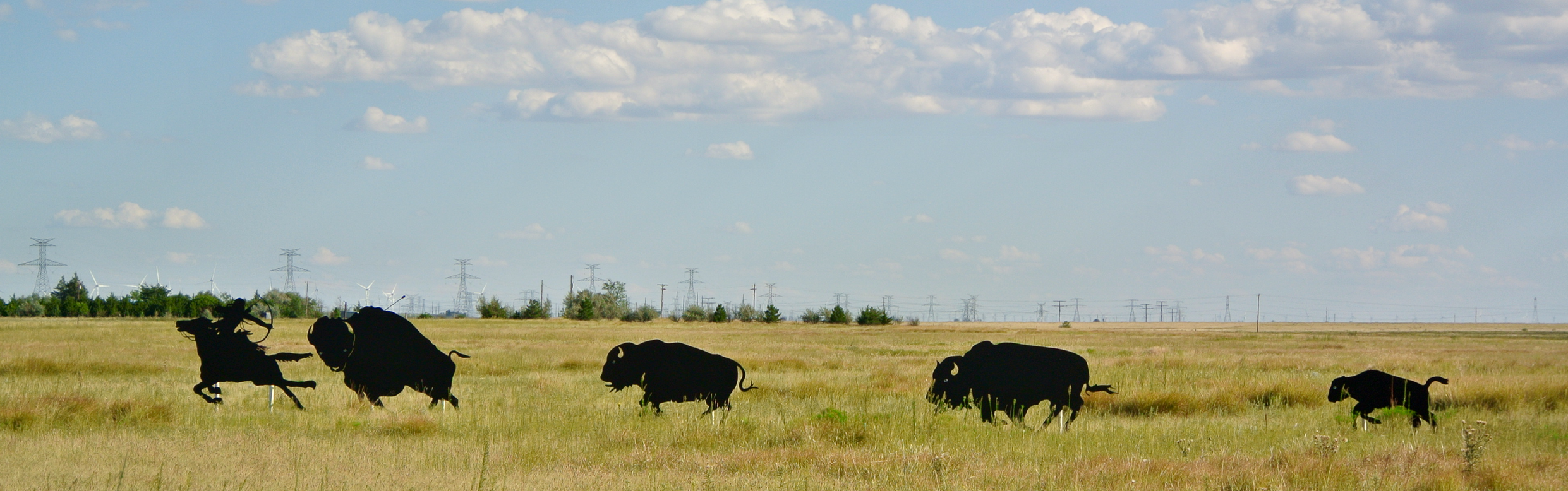
“Briscoe County is on the edge of the Texas High Plains along the eastern Caprock escarpment, which separates the Llano Estacado from the rolling plains. It is bordered on the east by Hall County, on the west by Swisher County, on the north by Armstrong County, and on the south by Floyd and Motley counties. Briscoe County was separated from the Bexar District in 1876, organized in 1892, and named for Andrew Briscoe, a soldier in the Texas Revolution, who during the period of the republic became a judge and railroad promoter. The county comprises 887 square miles of irregular terrain ranging up to 3,300 feet in altitude; the elevation drops in Tule Canyon as low as 1,000 feet.”
“Geologists have found evidence of occupation by pre-Columbian people throughout Briscoe County; ruins of irrigation canals or of stockades attest to a high degree of civilization. Plains Apaches followed these Indians and were displaced around 1700 by the Comanches, who found the canyon recesses abundant with buffalo, antelope, and other wild game.”
“White captives of Comanche raiders were often separated and traded to other Indian bands or Comancheros in the notorious Valley of Tears. That ended after Col. Ranald S. Mackenzie‘s Fourth United States Cavalry crisscrossed the county in pursuit of the “Mongols of the West” in 1872, and again after they battled the Indians at Tule Creek on September 25–27, 1874. On September 29 Mackenzie’s troops slaughtered over 1,000 Indian horses at Tule Canyon after their crucial victory at Palo Duro Canyon the day before.”

“With the power of the Comanches broken, Briscoe County was open for white settlement. Although the “dean” of Comancheros, José Piedad Tafoya, had maintained a trading post at Los Lenguas Springs (Los Lingos Creek) between 1865 and 1867, no real settlement occurred until open-range cattle raising came to the area. In 1878 the Baker brothers and O. J. Wiren established the Quitaque (Lazy F) Ranch, which was added to the JA Ranch properties in 1882 and fenced the following year.”
“The Quitaque, owned by Charles Goodnight and L. R. Moore after the former terminated his partnership with Cornelia Adair in 1887, was a primary influence on the county’s early economy. The JA and Shoe Bar ranches owned land in the northeastern part of the county. By 1890 a few stock farmers and small ranchers had begun taking up lands on the periphery of the Lazy F.”
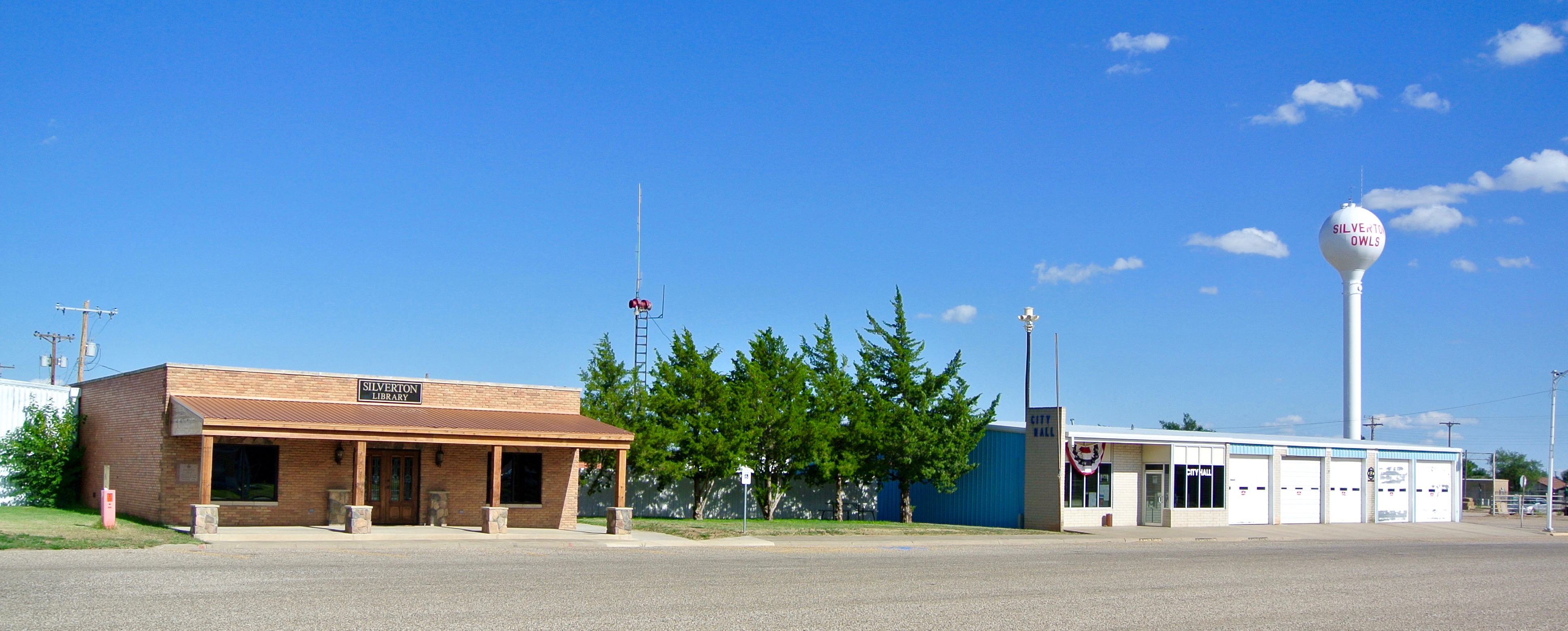
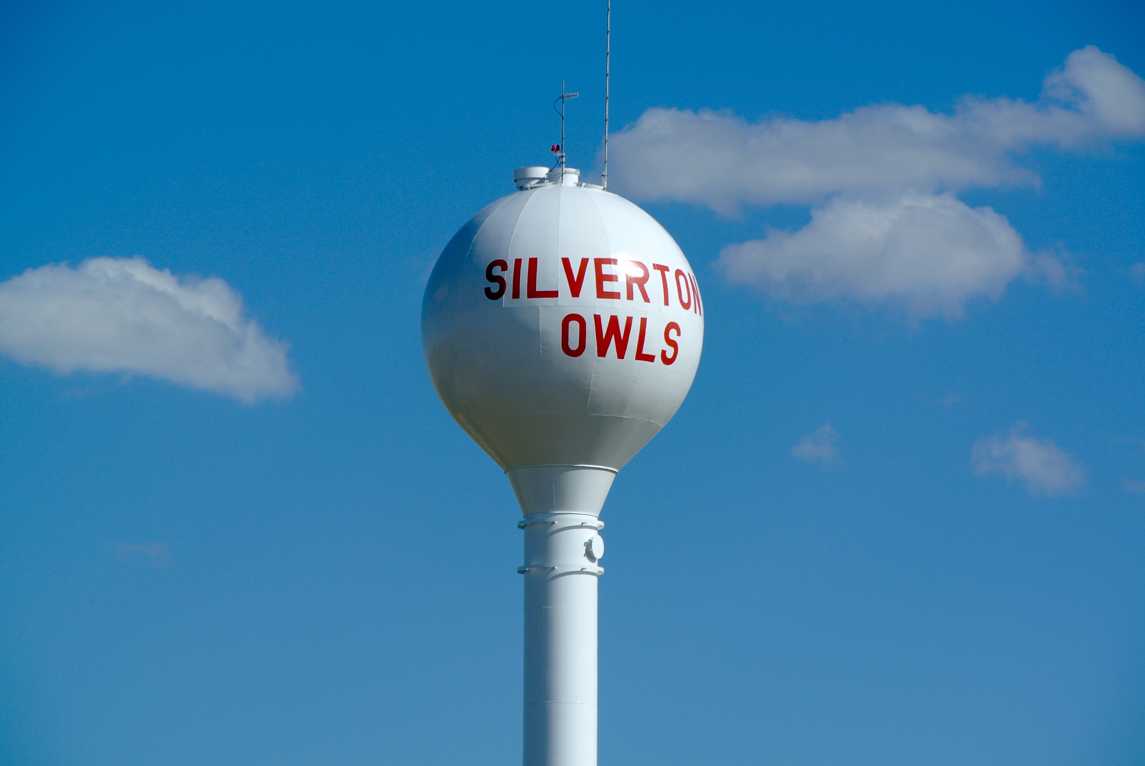
“The town of Quitaque began in 1890 as a stage stop. Merchants and other businessmen also trickled in; in 1891 Thomas J. Braidfoot laid out the townsite of Silverton and led the movement for the organization of the county. By the spring of 1892 enough settlers had arrived to bring Braidfoot’s plan to fruition. A petition was circulated, and on March 15, 1892, the electorate officially organized the county and chose Silverton as its seat.”
“By 1900 the population had grown to 1,253, and six school districts had been established. Immigrant farmers introduced various crops to the region before World War I, the most promising of which were wheat, sorghum, and cotton. Cotton was first grown in Briscoe County on an experimental basis but became one of the county’s most important crops by 1930. In 1900 only eight acres of Briscoe County land was planted in cotton; in 1910 over 3,400 acres were devoted to the fiber, then 7,535 acres in 1920, and over 36,000 acres in 1929. The county’s first gin was built in 1912.”
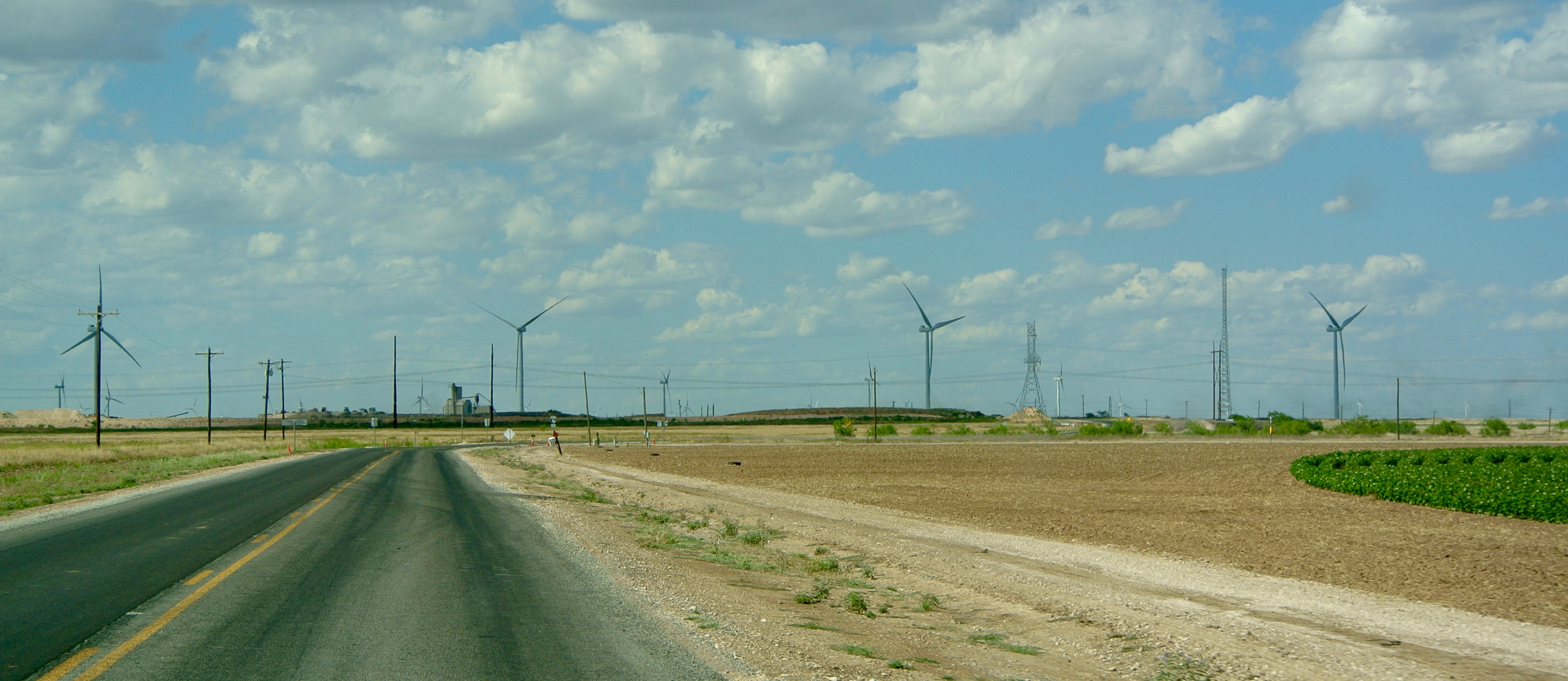
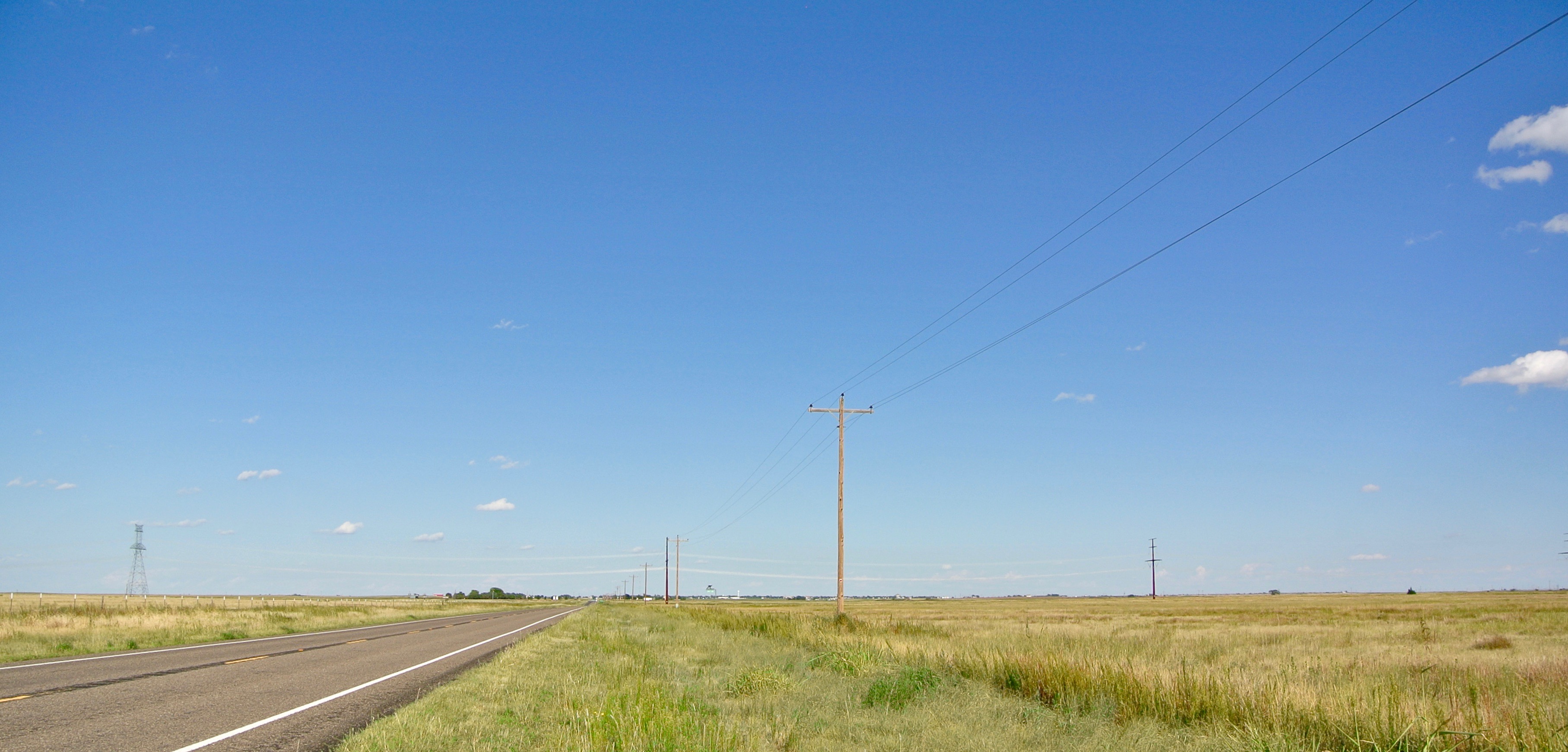
“Agricultural growth in the South Plains finally brought a railroad into the county. Until the 1920s all freight came in wagons, and later in automobiles, from Amarillo or Estelline. In 1925, however, the Fort Worth and Denver Railway decided to build into the region. A branch line was completed from Estelline westward to Quitaque and Silverton by 1927, then southward from Quitaque to Plainview and Lubbock in 1928. Also during this time graded auto roads replaced many of the old wagon routes; State Highway 86 was completed from Tulia via Silverton and Quitaque to Turkey, in Hall County. Later, State Highway 256 linked Silverton with Memphis and Clarendon.”
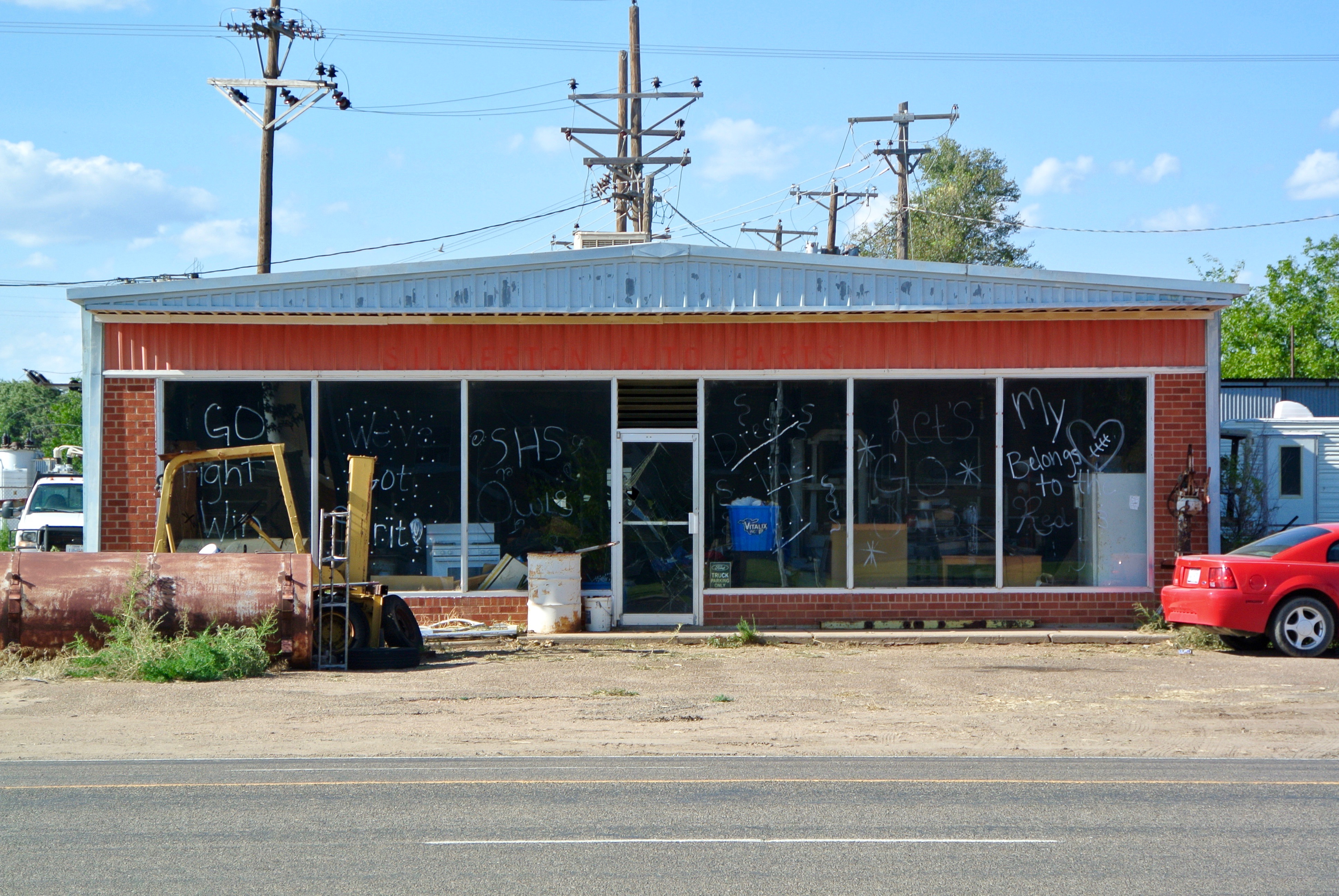
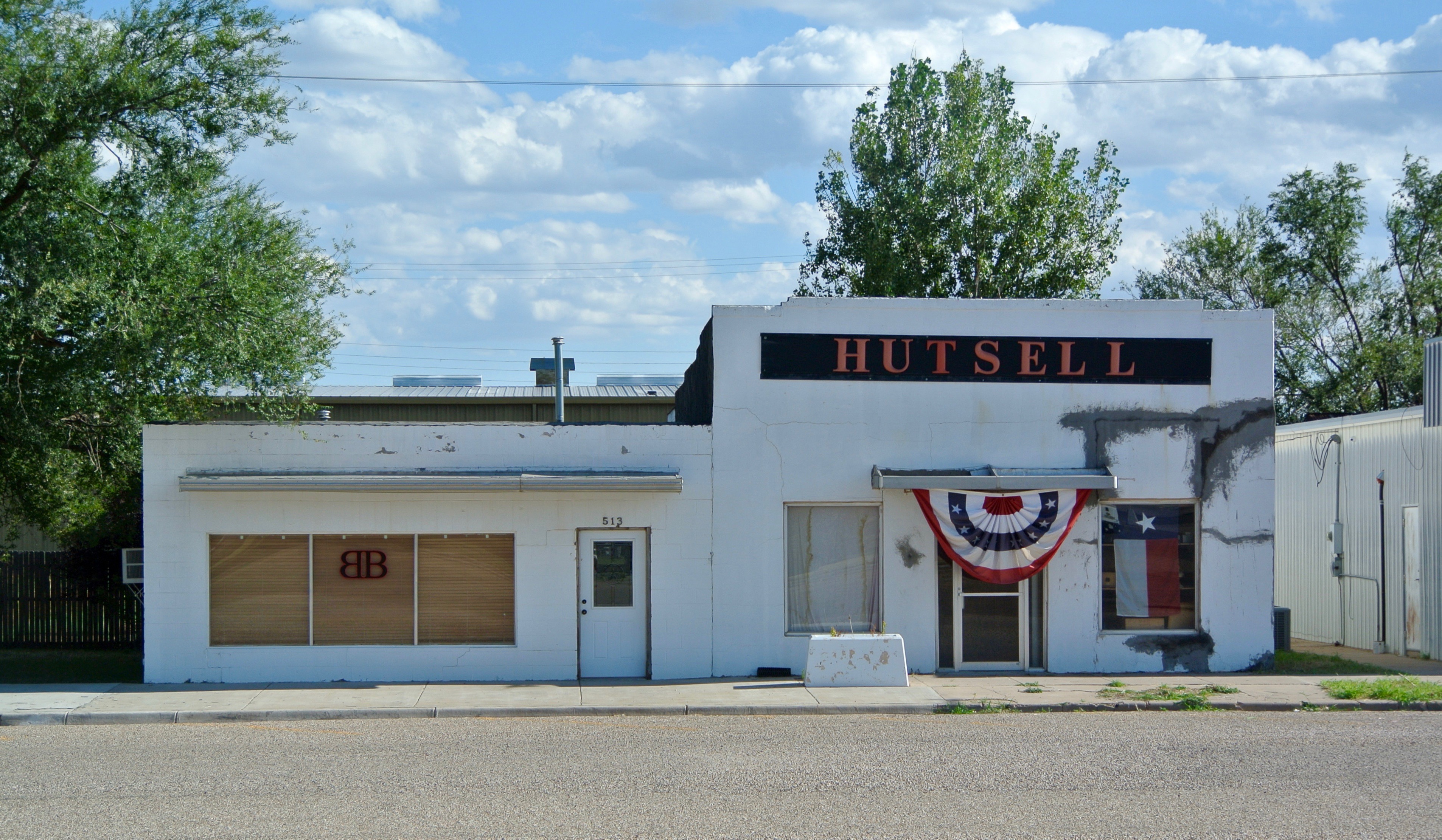
“During the Great Depression the agricultural economy suffered and contracted. The number of farms in the county dropped from 679 to 516 between 1929 and 1940, and cotton production dropped by more than 30 percent. Losses associated with the depression were also responsible for a drop in the county’s population; 5,590 people lived in Briscoe County in 1930 but only 4,056 in 1940. The consolidation and mechanization of agriculture after World War II resulted in further dislocation of the farm populace, and the county’s population dropped to 3,528 by 1950. A slight rise to 3,577 in 1960 was followed by sharp declines to 2,794 in 1970, 2,579 in 1980, and 1,971 in 1990. In 2014 there were 1,536 people living in the county. In that year Silverton and Quitaque had populations of 661 and 378, respectively; the remainder of Briscoe County’s population resided on farms and ranches.”
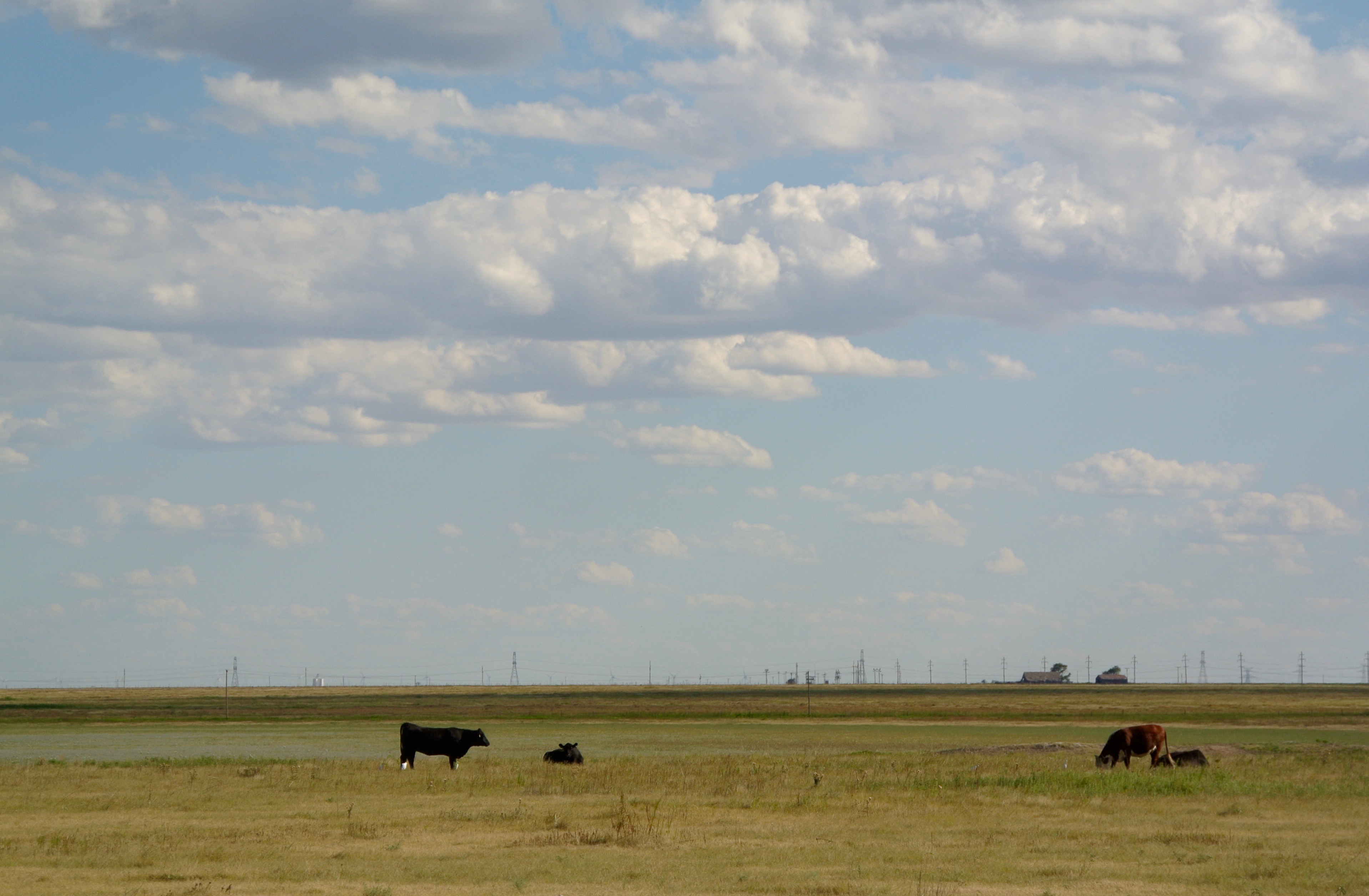
“In the early twenty-first century Briscoe County continued to rely heavily on agriculture as a major source of revenue. In 2002 approximately 66 percent of its land was dedicated to ranching and about 33 percent to crops; about 65 percent of its cropland was irrigated. Cotton, wheat, grain sorghums, peanuts, and hay were its most important crops.”
“Recreation facilities are available at Lake Theo, built in 1962 and named for rancher Theo Geissler, and at Mackenzie Reservoir and Caprock Canyons State Park, both opened in the 1970s.”
- Handbook of Texas Online, Donald R. Abbe and H. Allen Anderson, “Briscoe County“
I was the guest of Silverton and Briscoe County on August 15, 2016.
______________________________________________________________________________________________________________
Briscoe County Courthouse – 1892
A courthouse was built in this year, shortly after the election to organize the county with Silverton as the seat. Minimal photos of it remain. The Texas Historical Commission actually has no visible record of this courthouse in their online database.
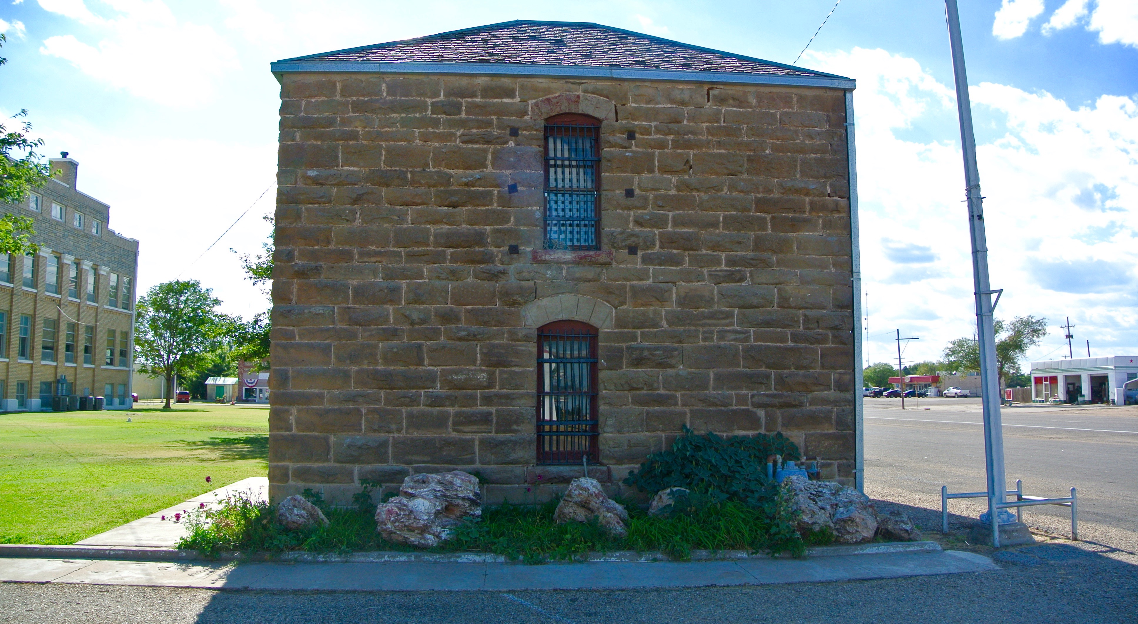
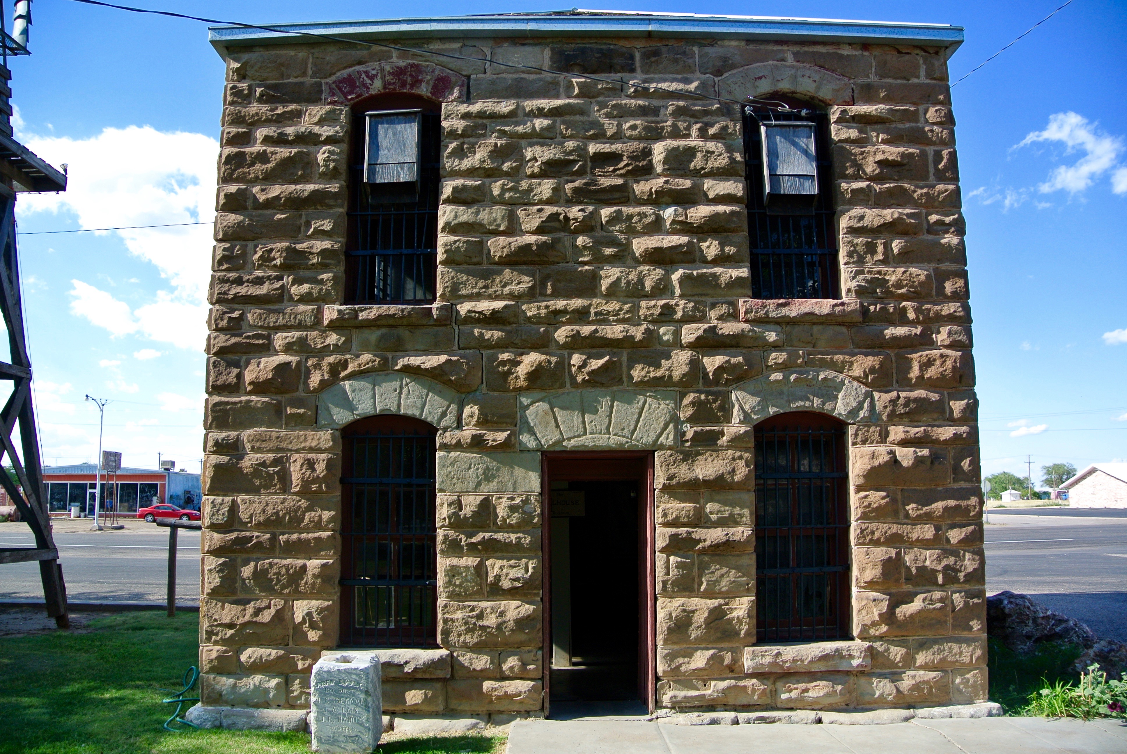
The same year, the Briscoe County Jail was built on the northeast corner of the courthouse lawn. It still stands.
______________________________________________________________________________________________________________
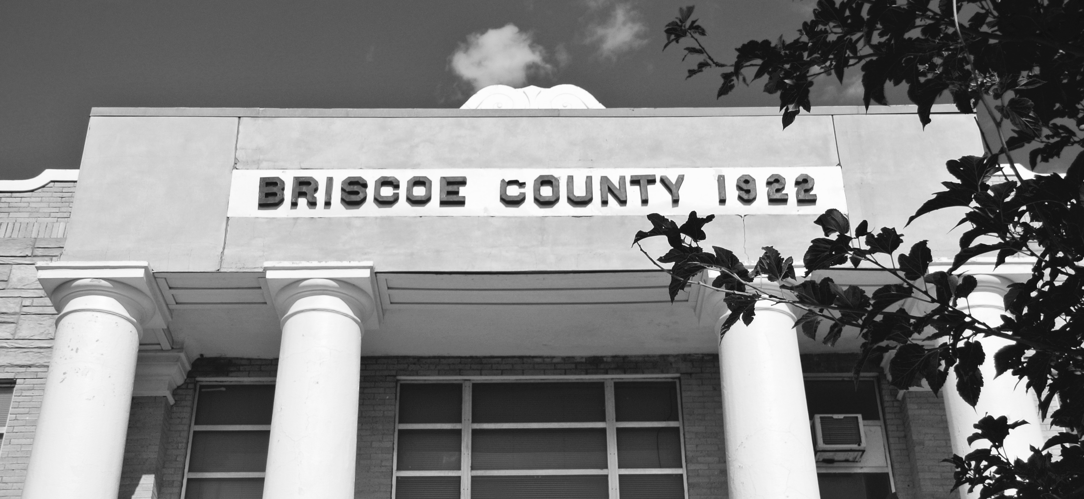
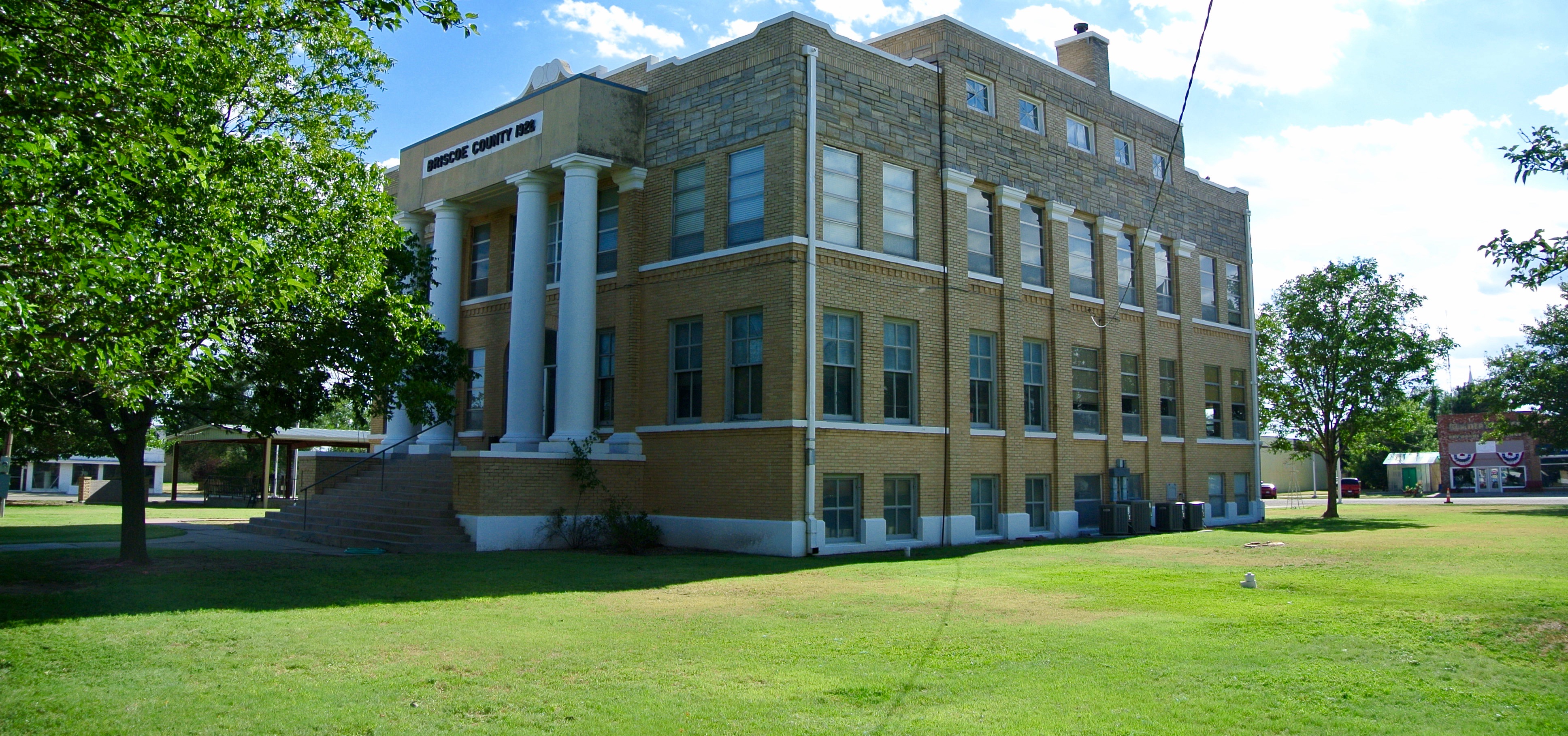
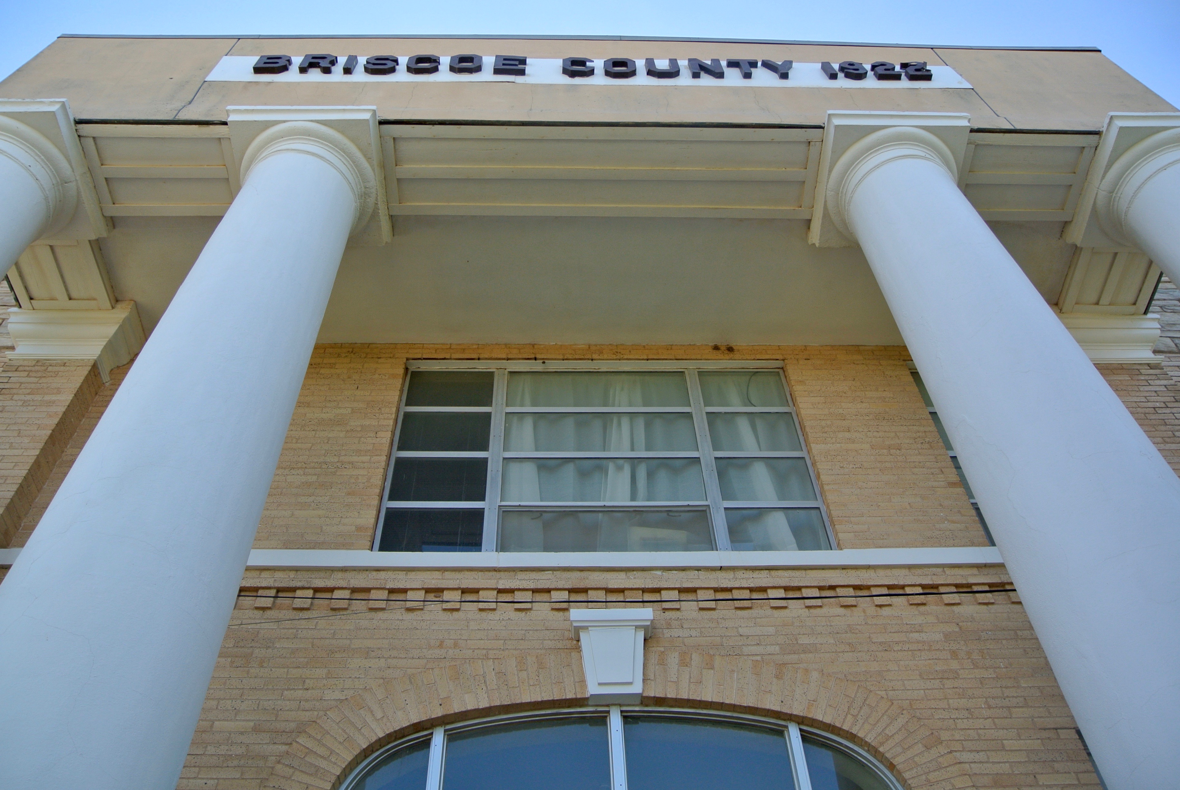
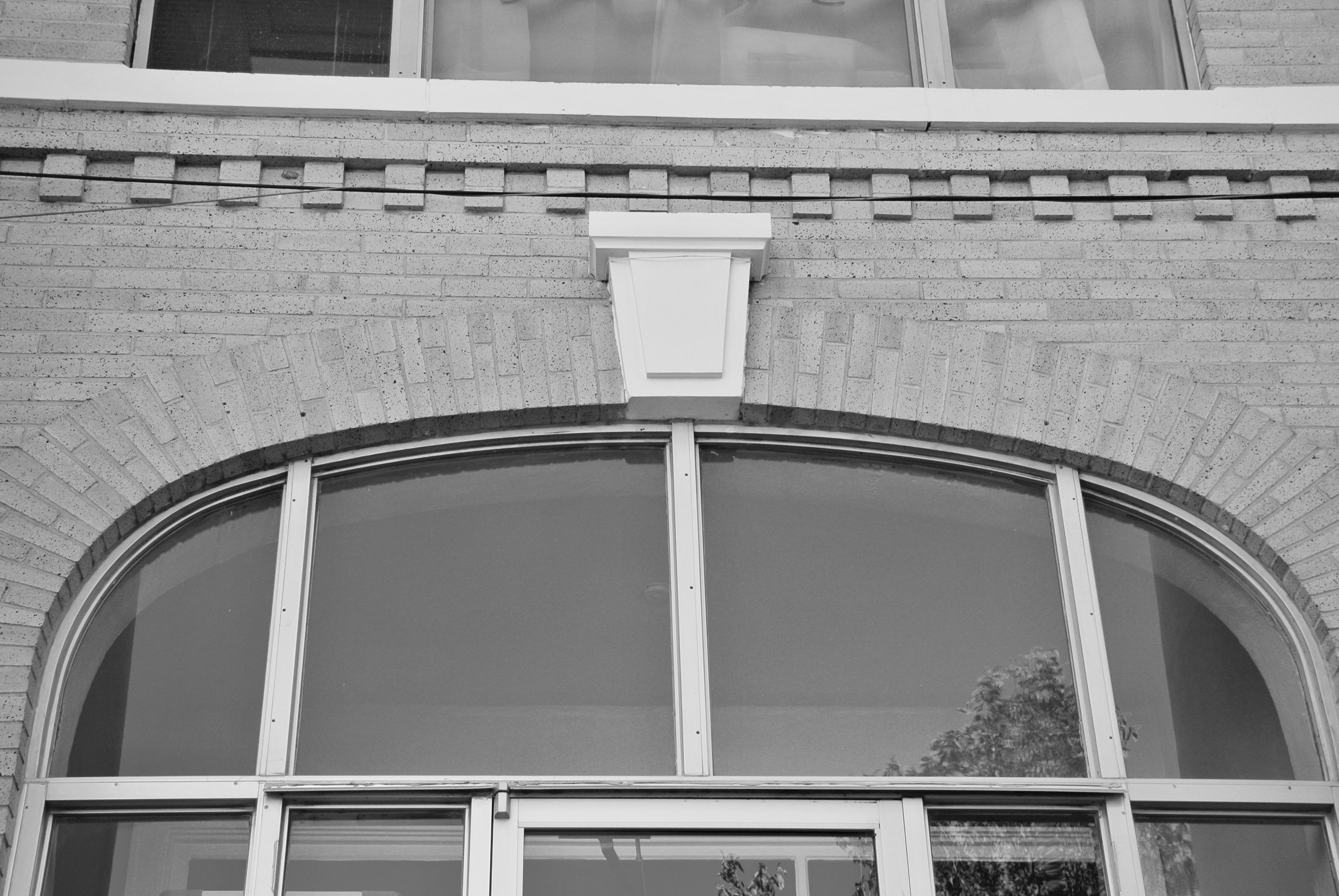
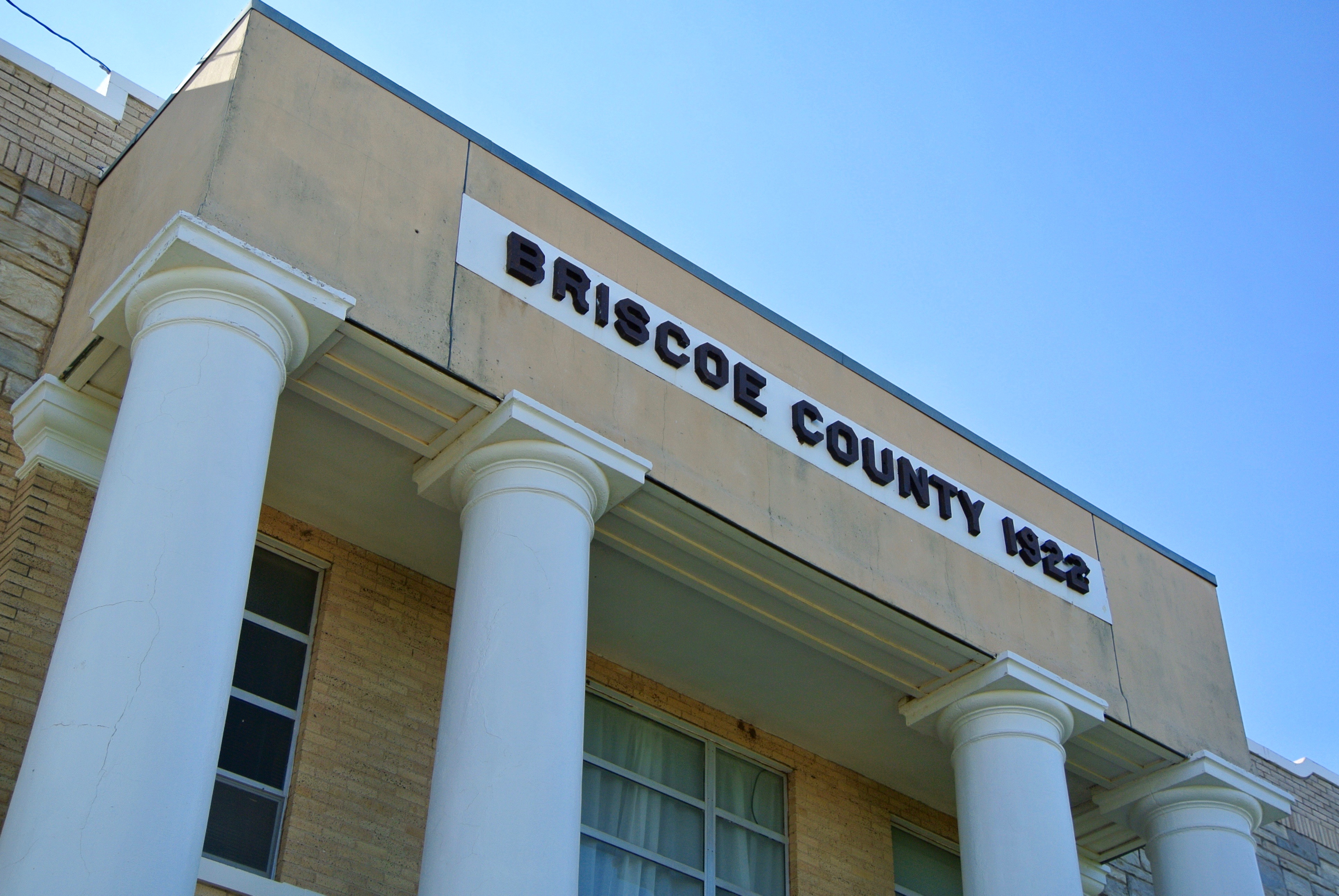
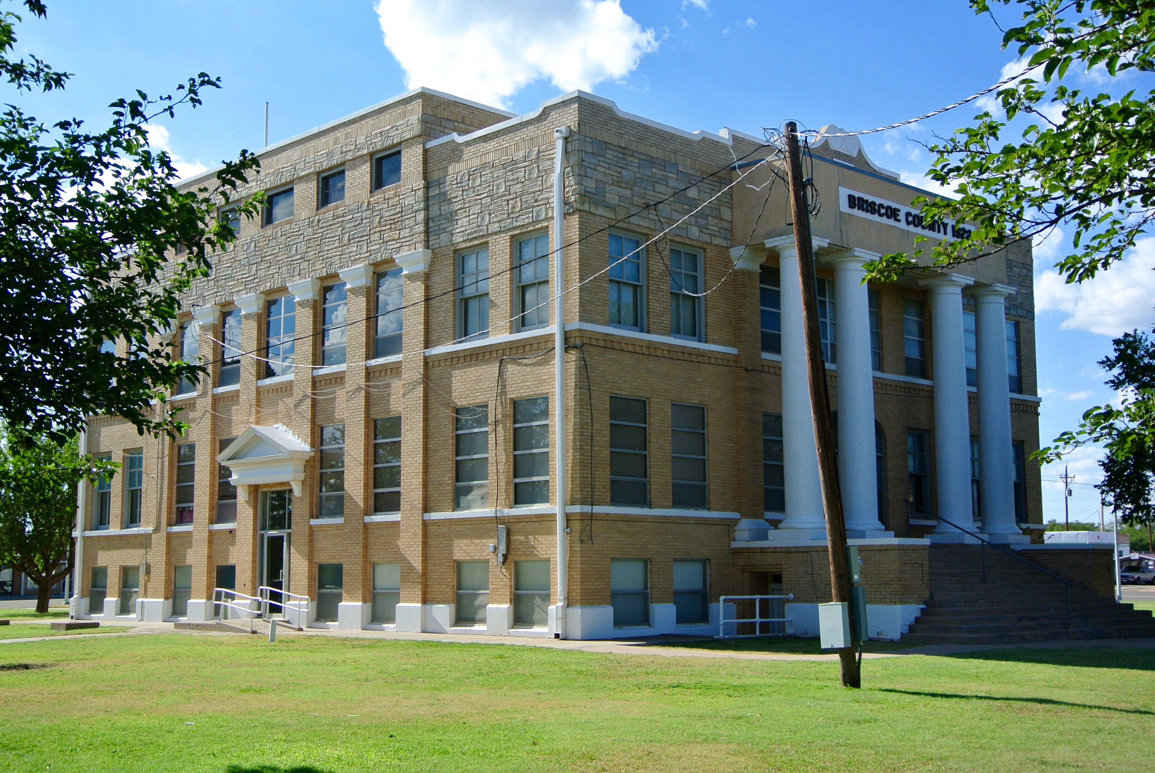
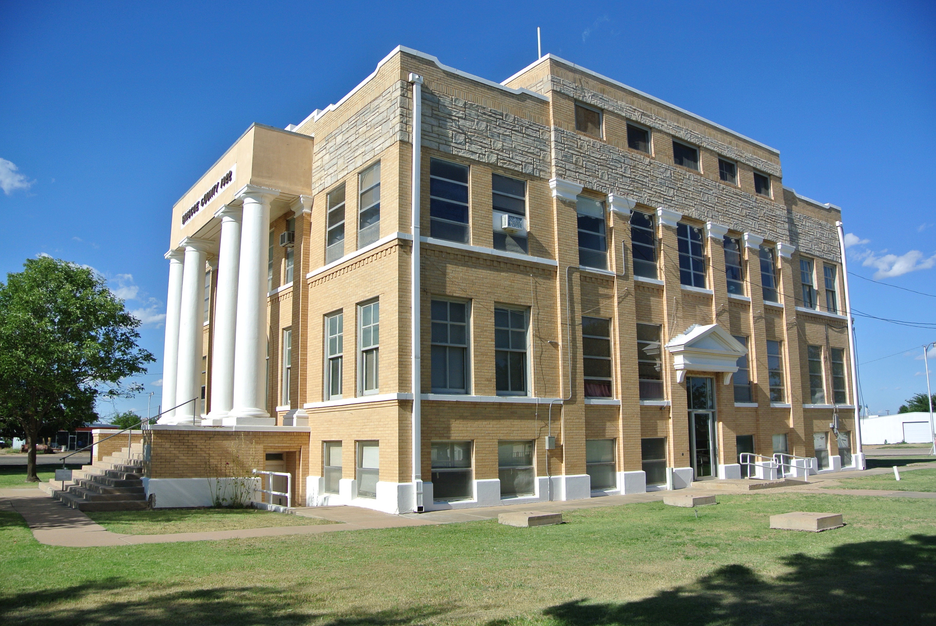
Briscoe County Courthouse – 1922
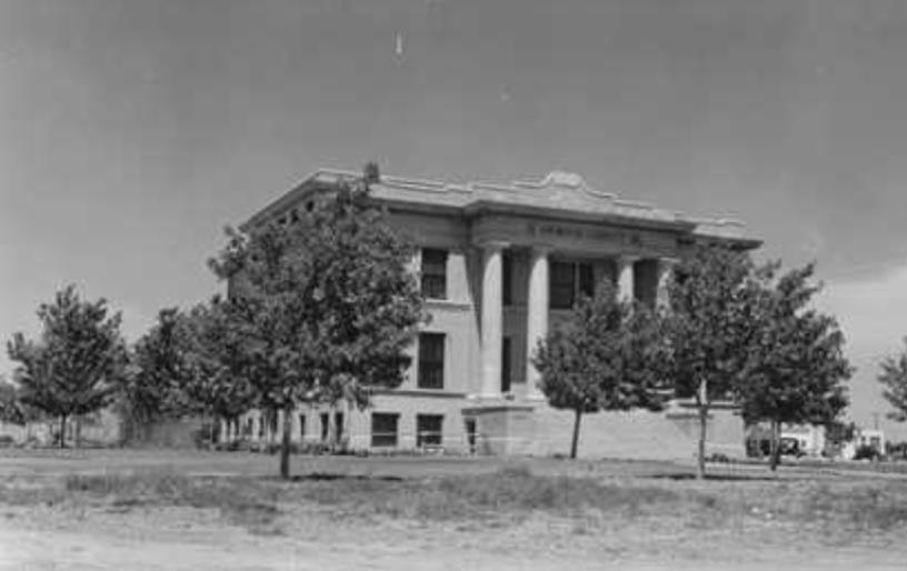
(Photo Courtesy: TxDOT)
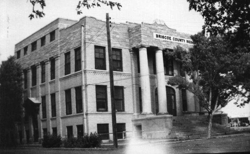
(Photo Courtesy: THC)

______________________________________________________________________________________________________________
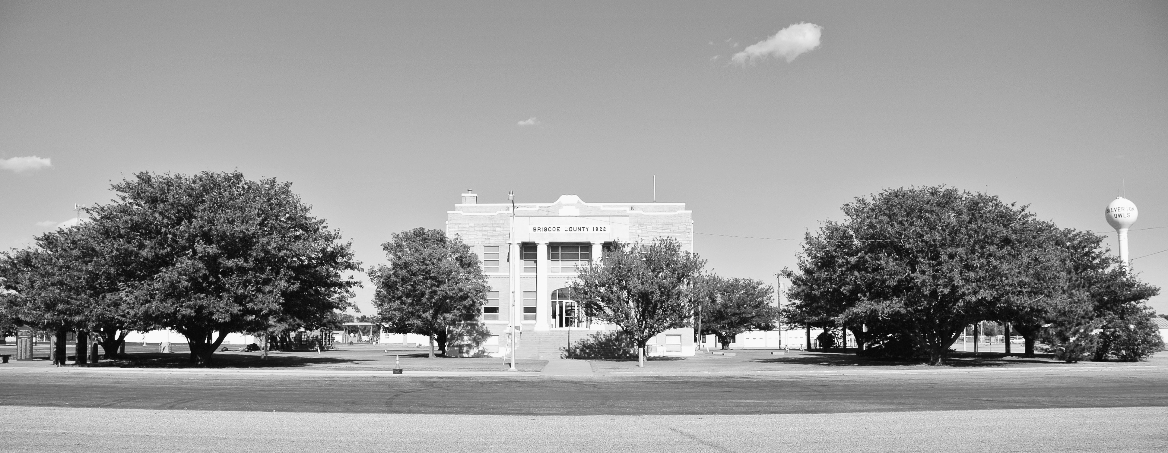
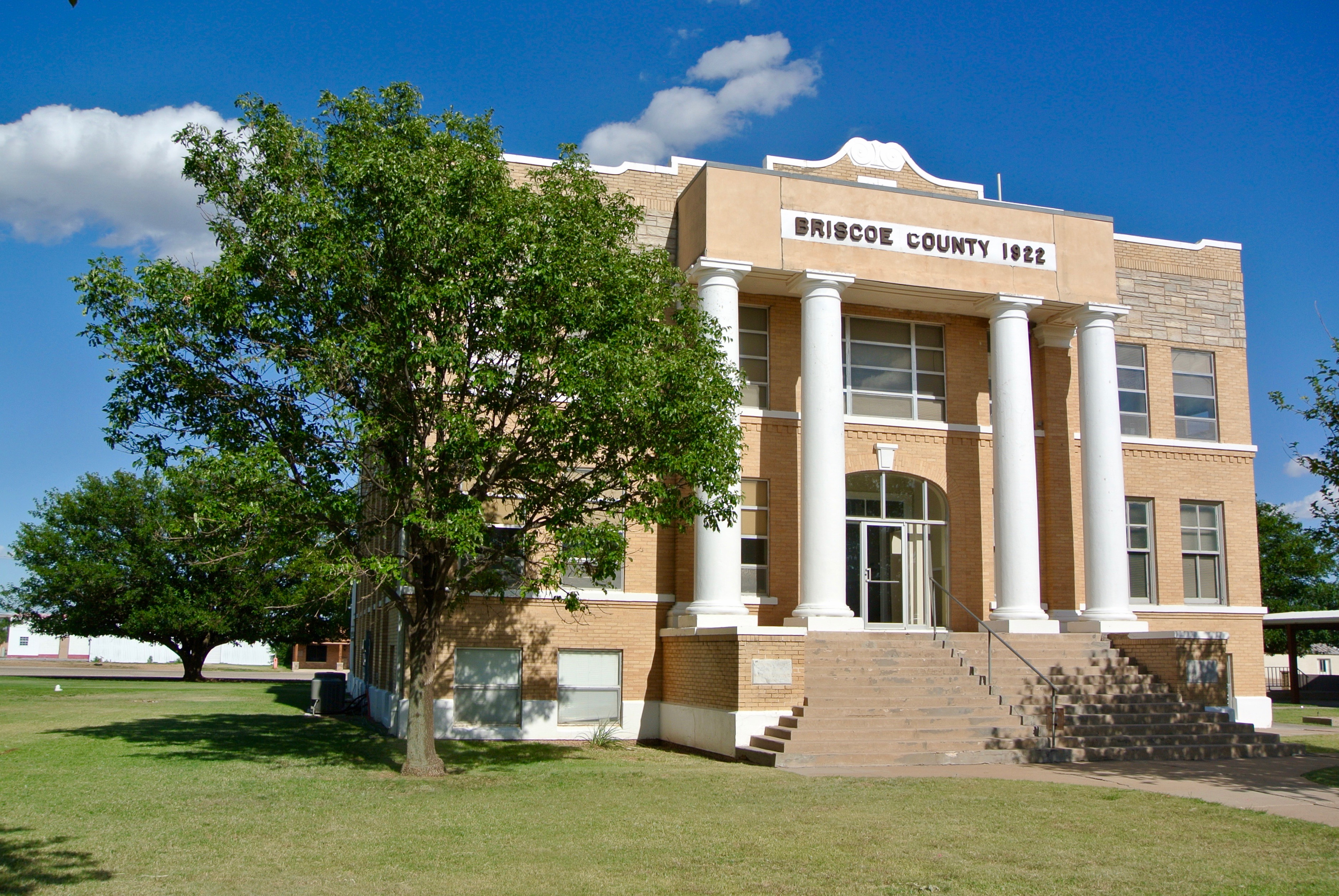
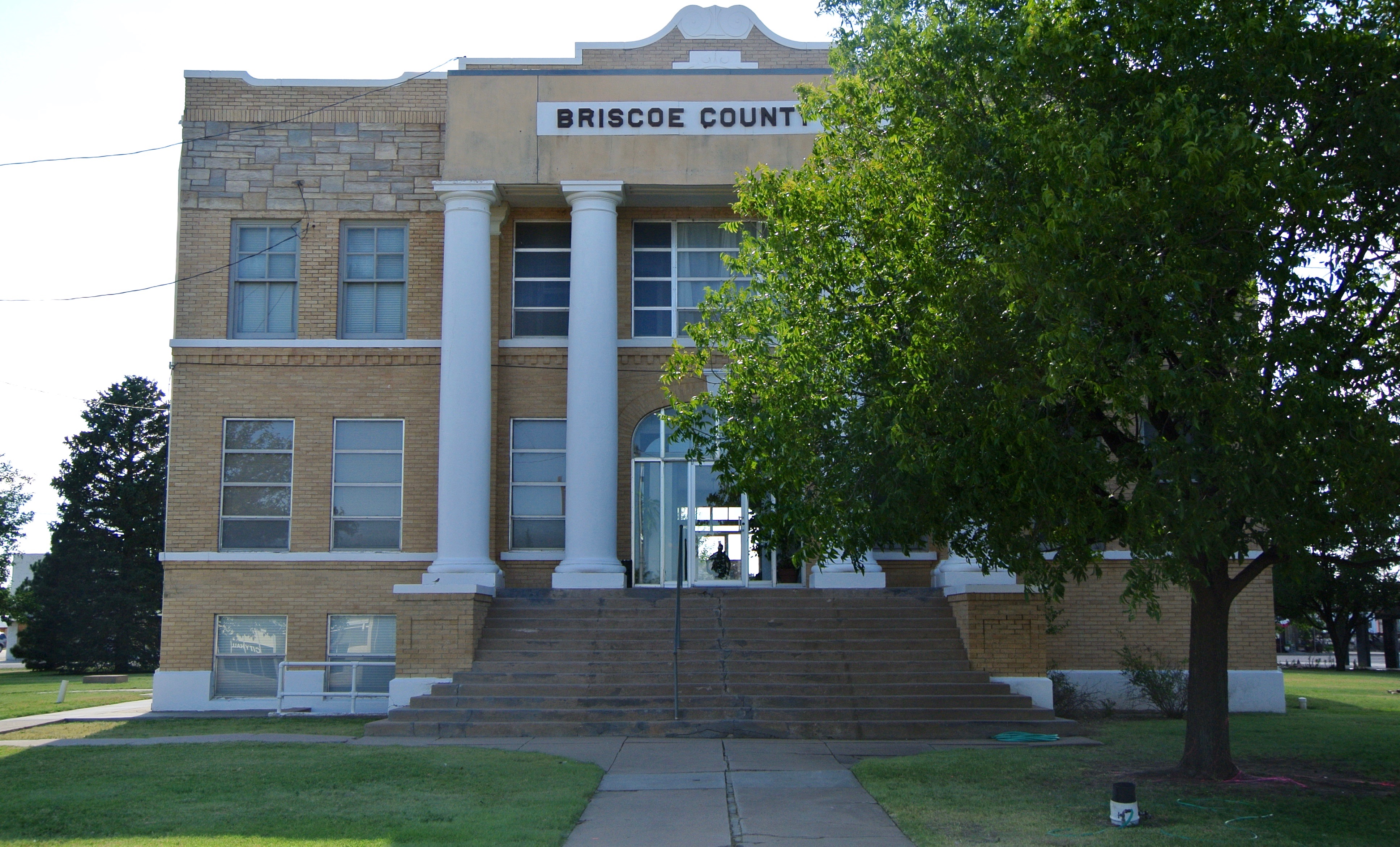
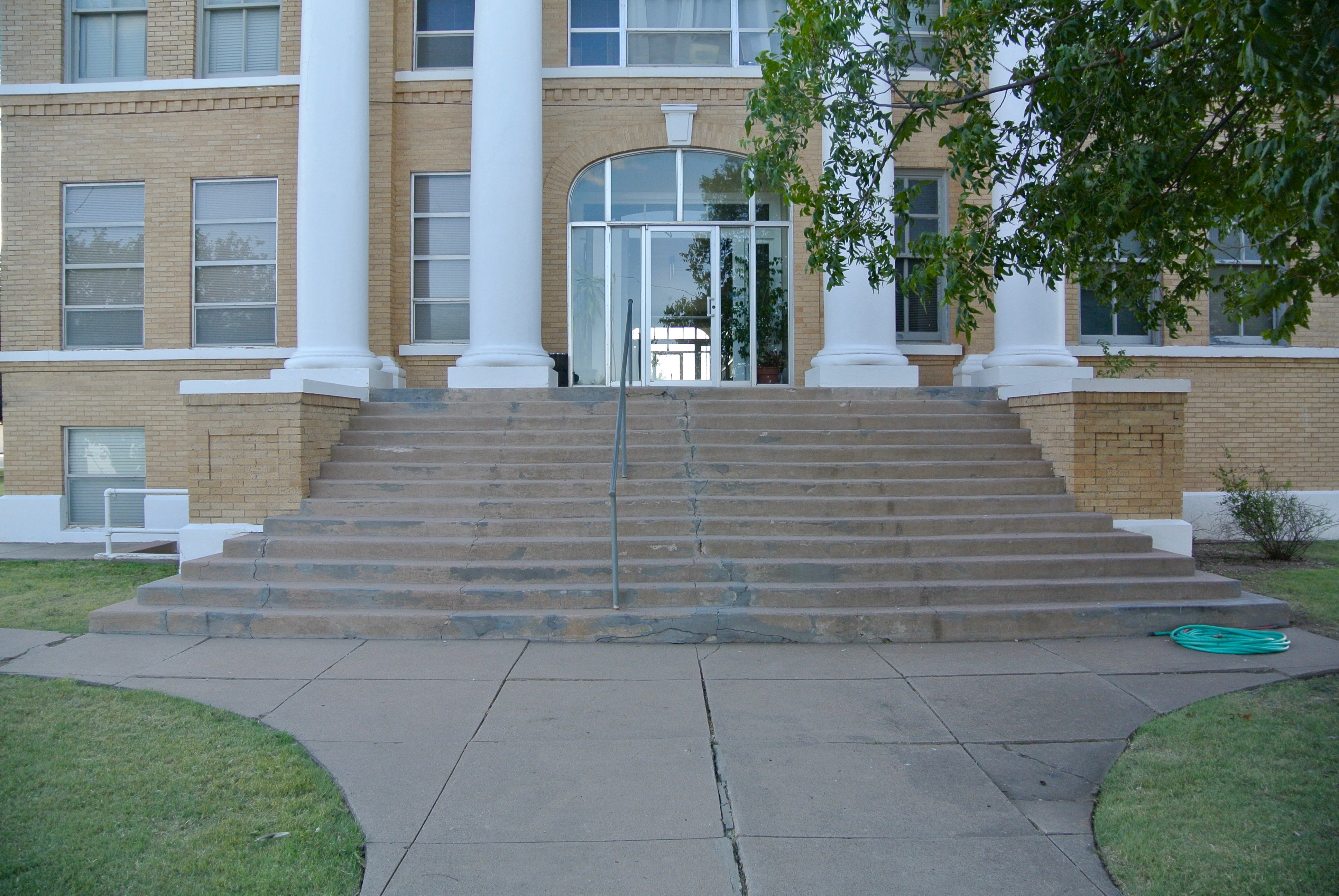
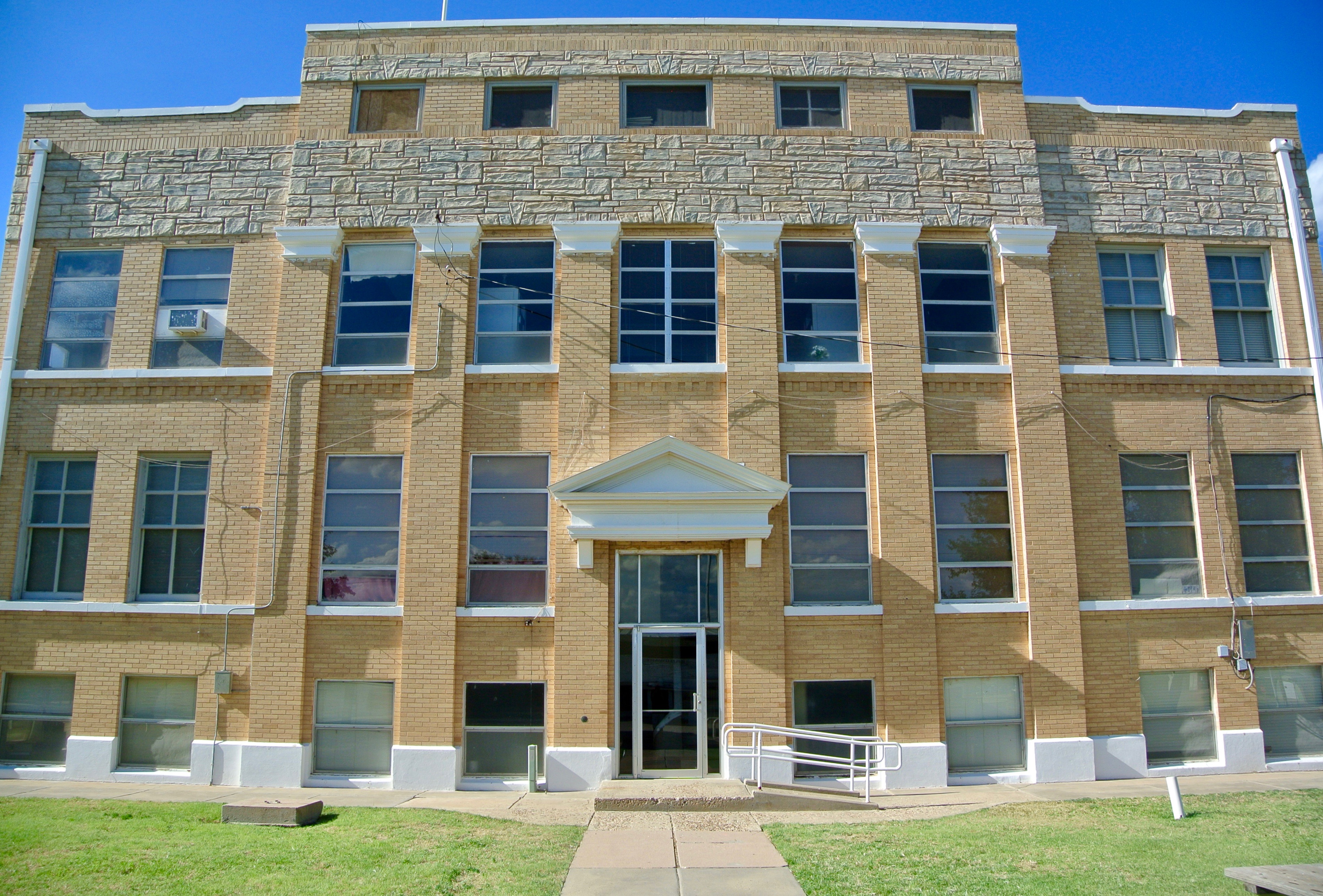
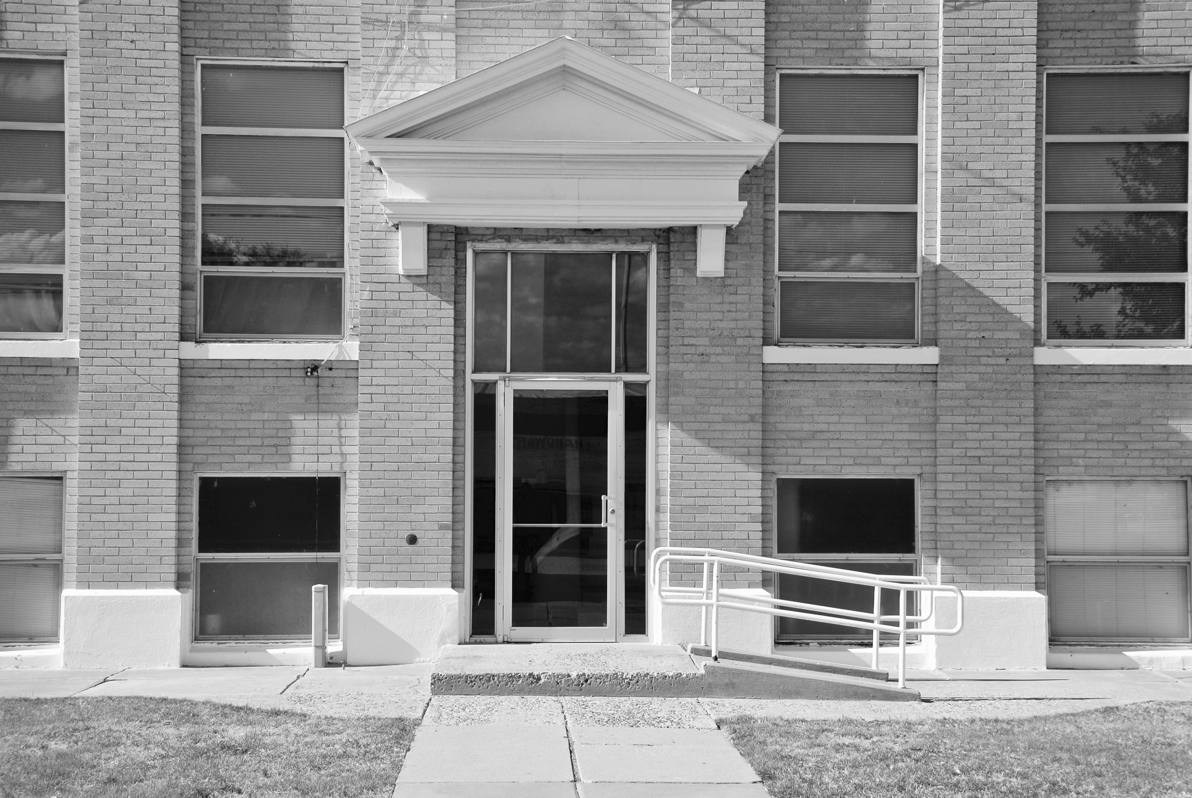
The main entrance faces west on Main Street.
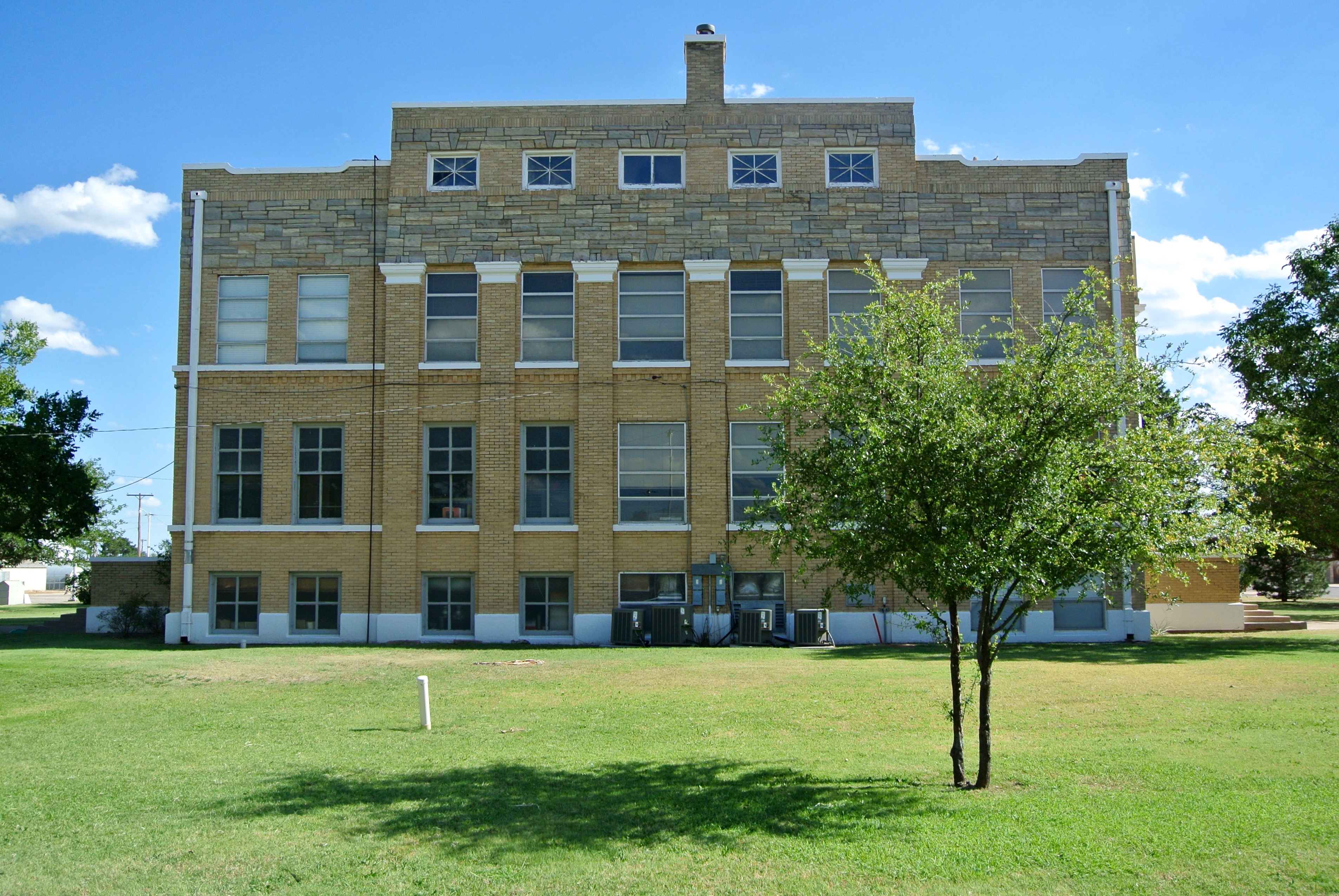
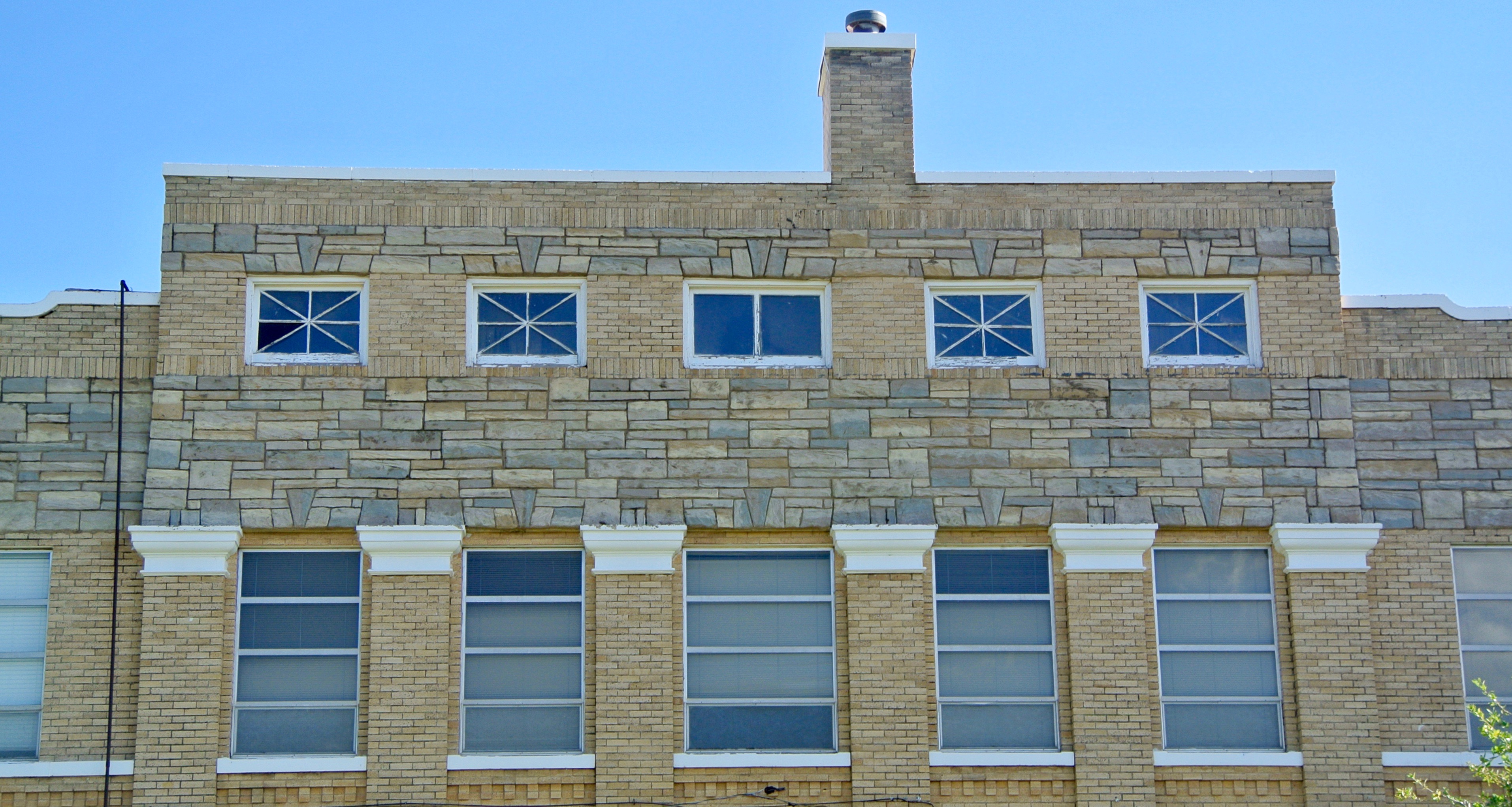
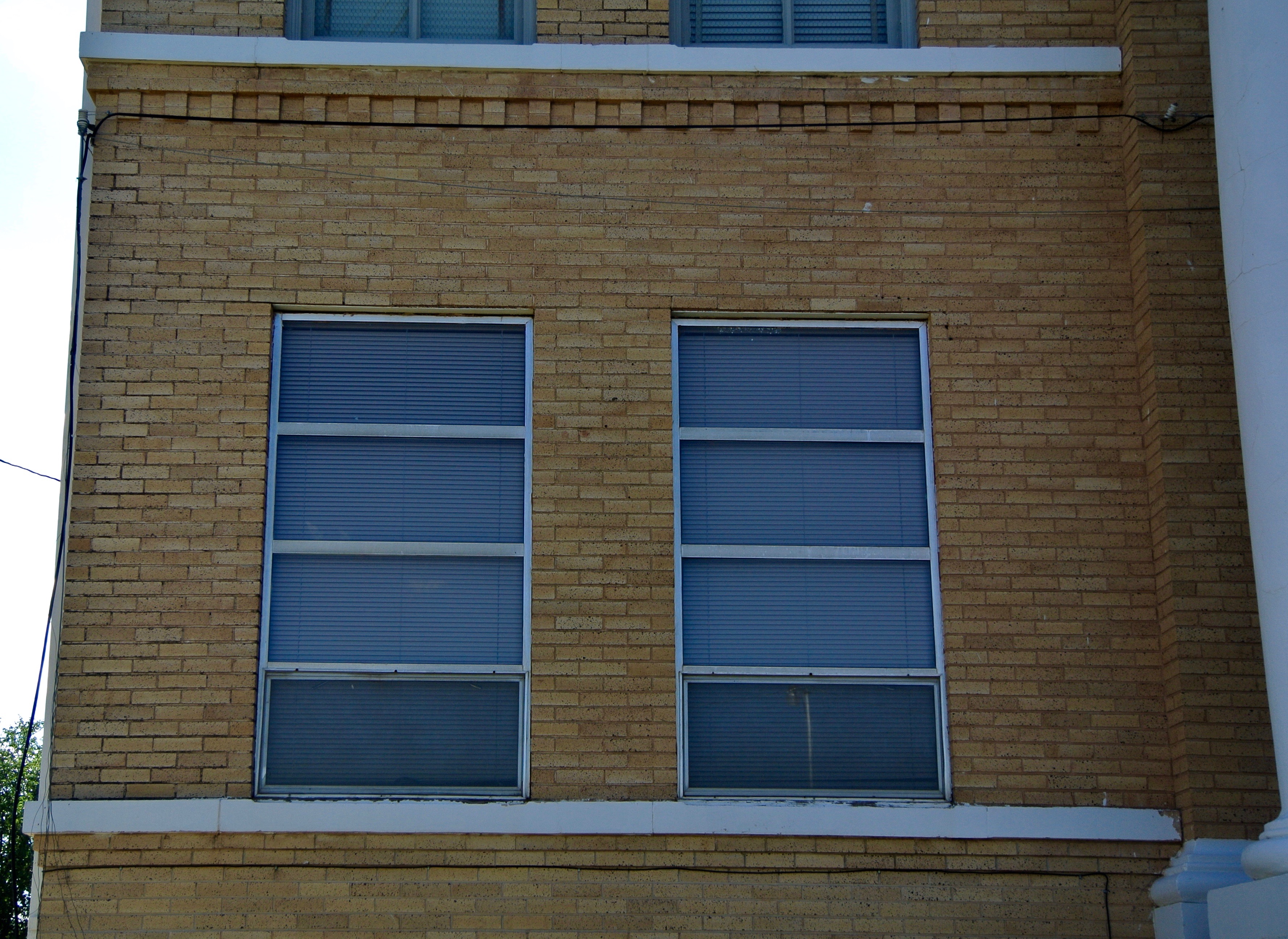
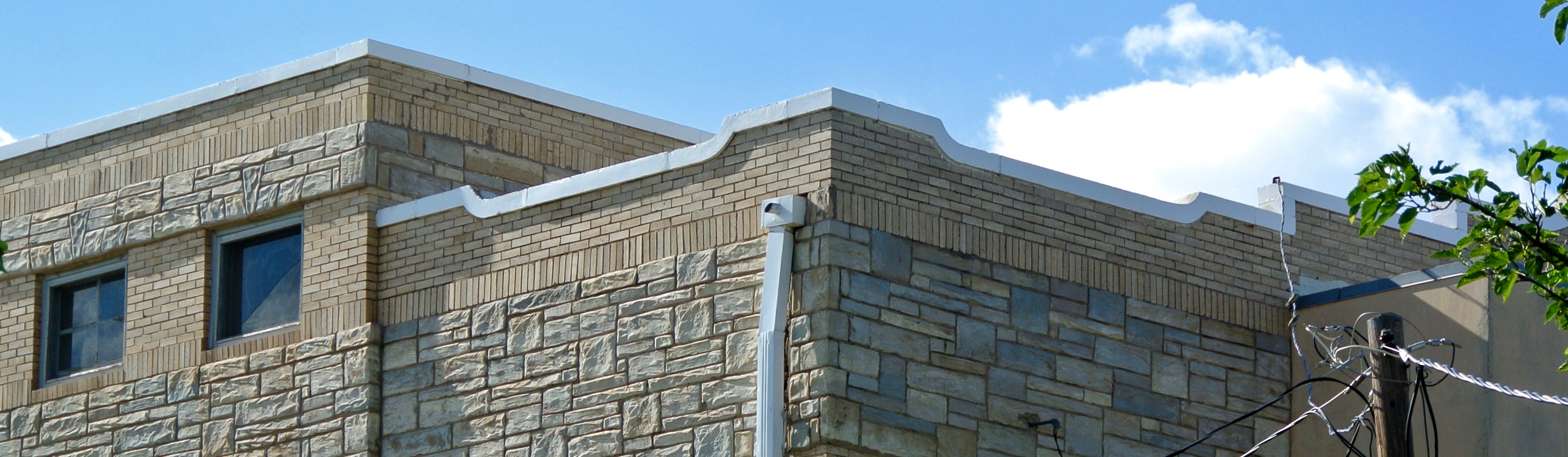
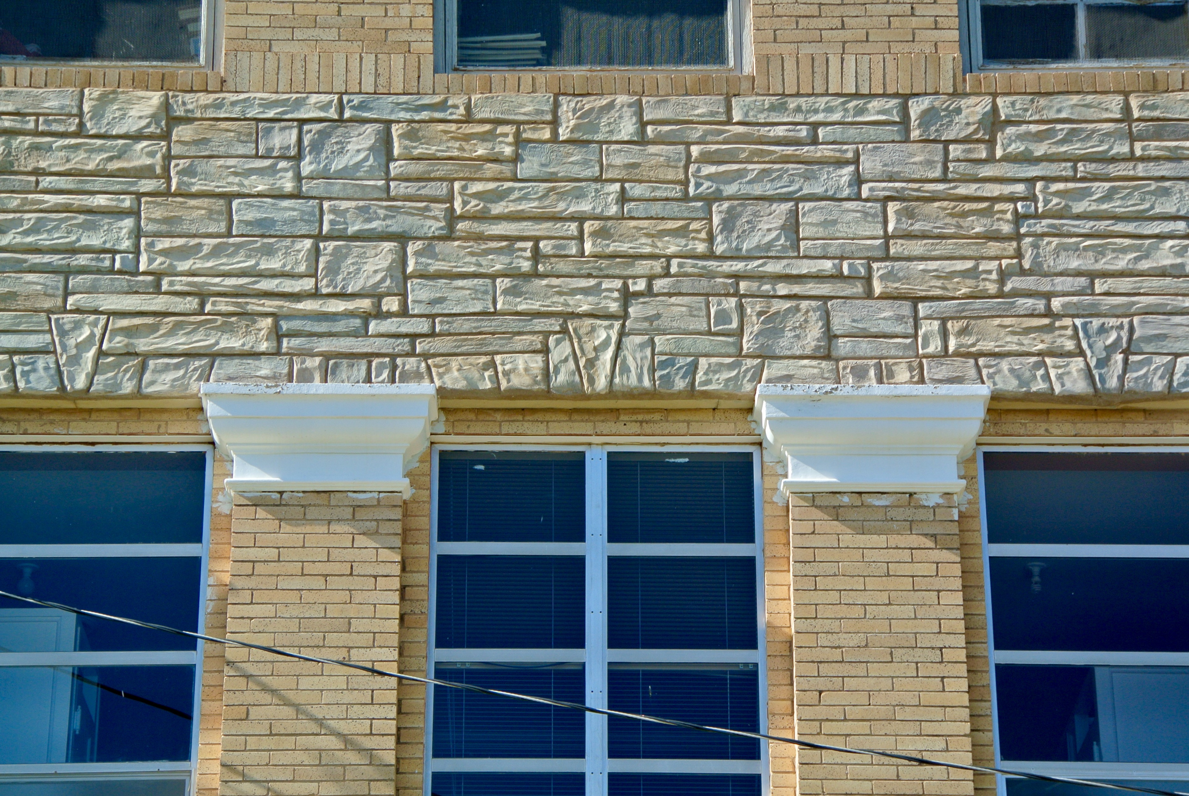
The northern side, meanwhile, faces Highway 86 / Lone Star Street. There’s that “random ashlar stone course” above the third story windows. Personally, I think it fits well. It gives this courthouse a little bit of rustic diversity. That’s just me.
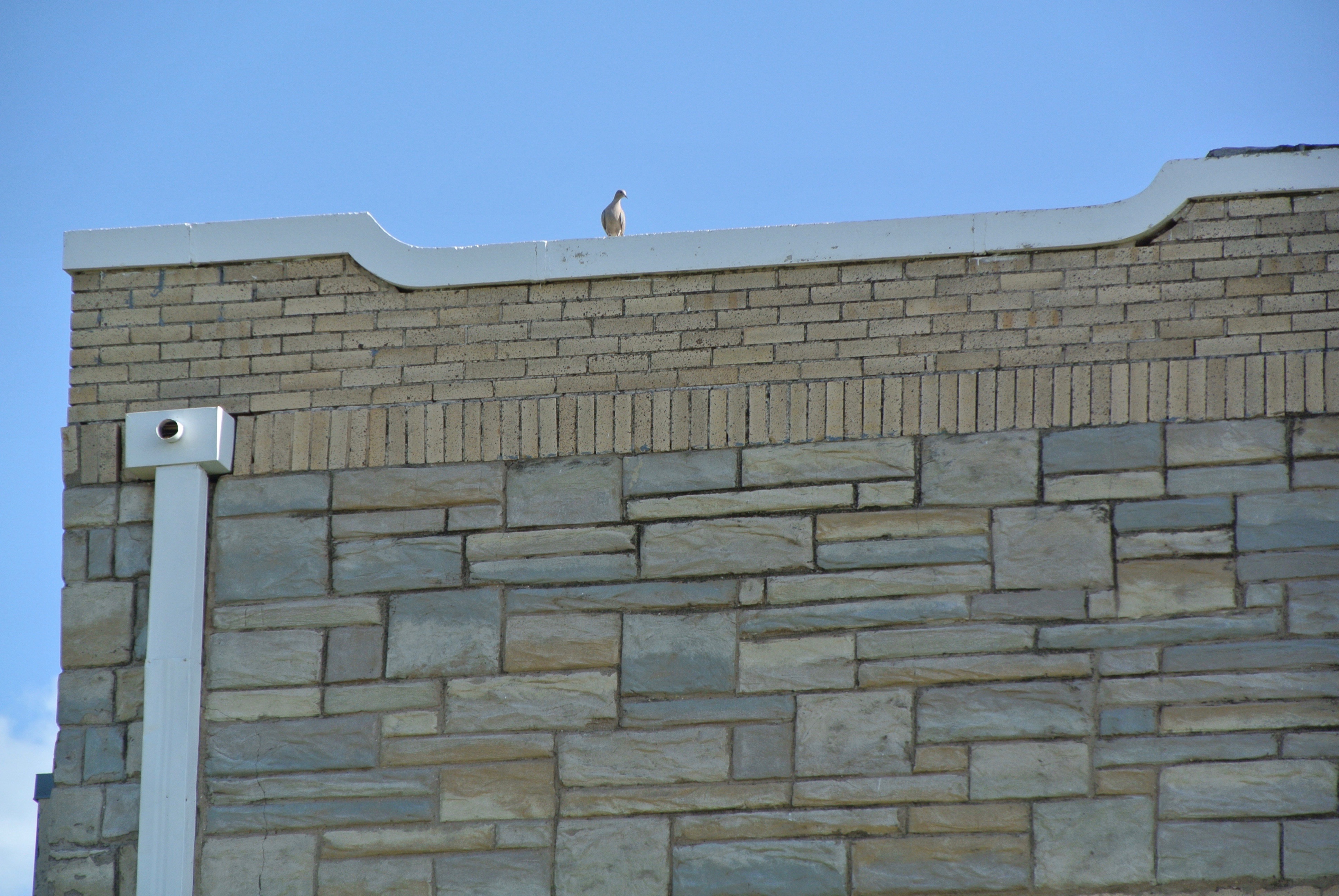
Here’s the northwest corner, near the old jailhouse.
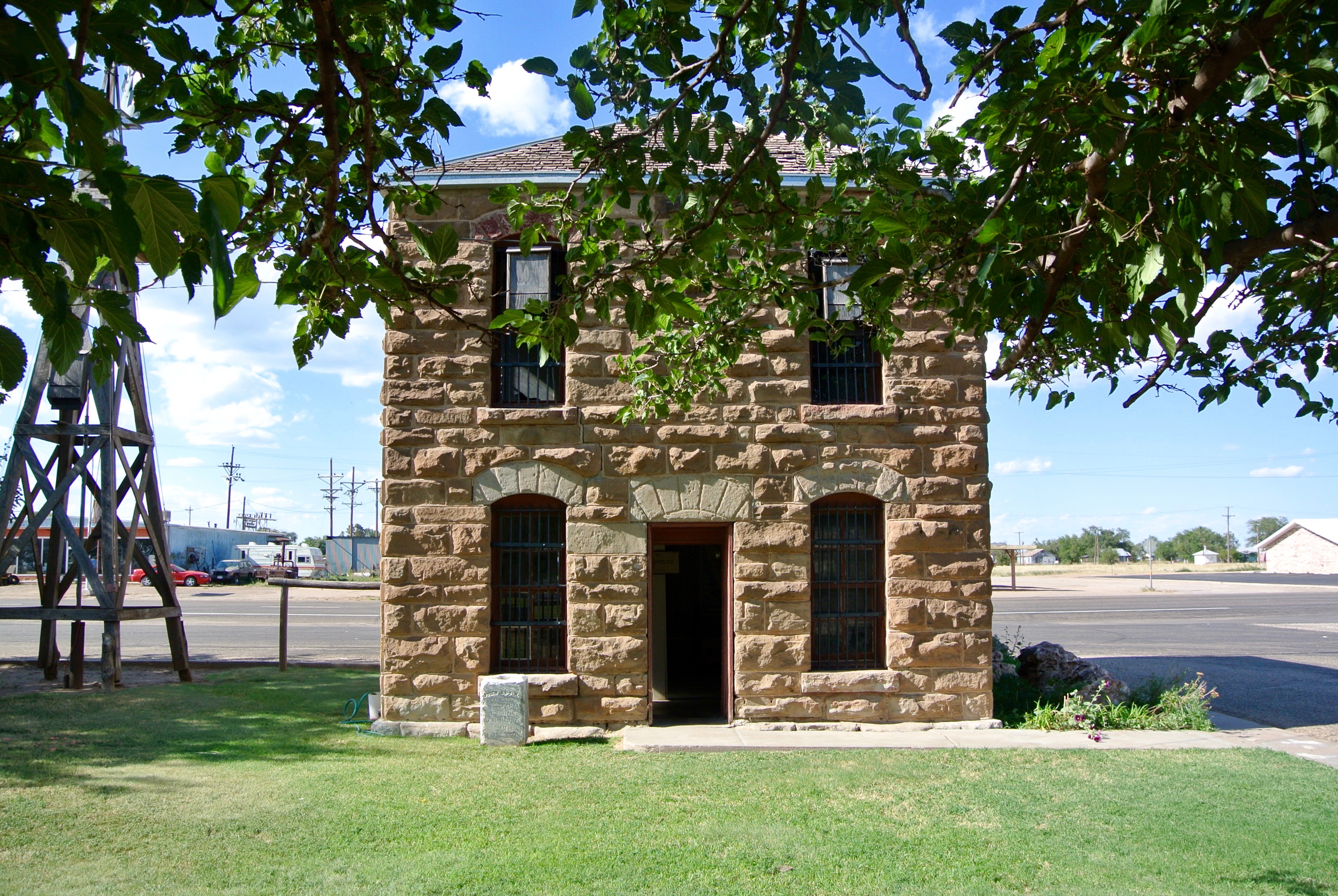
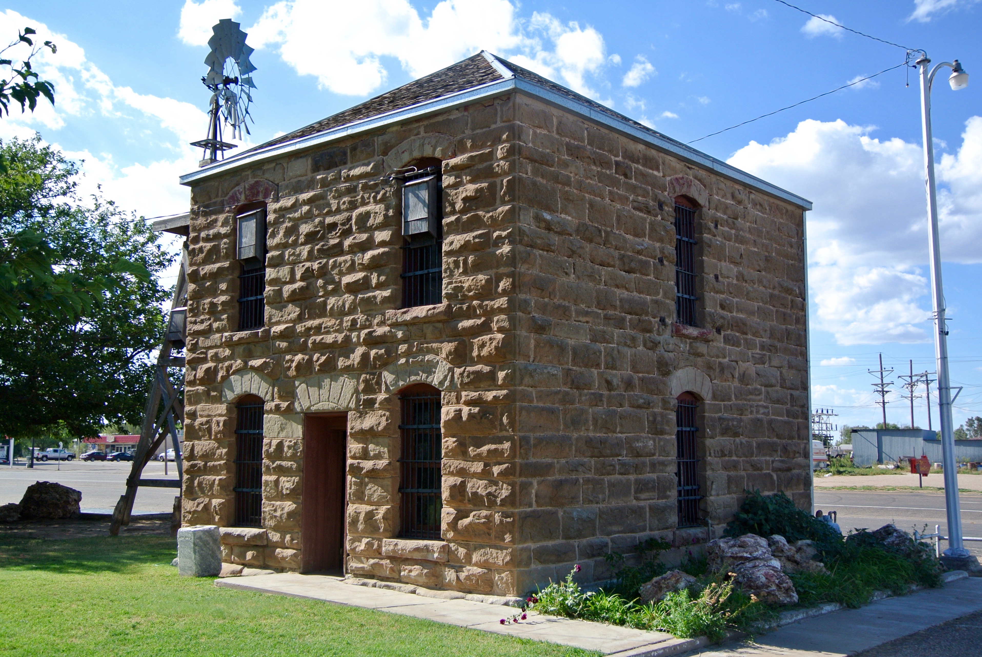
Built in 1892, this is the oldest building in all of Briscoe County.
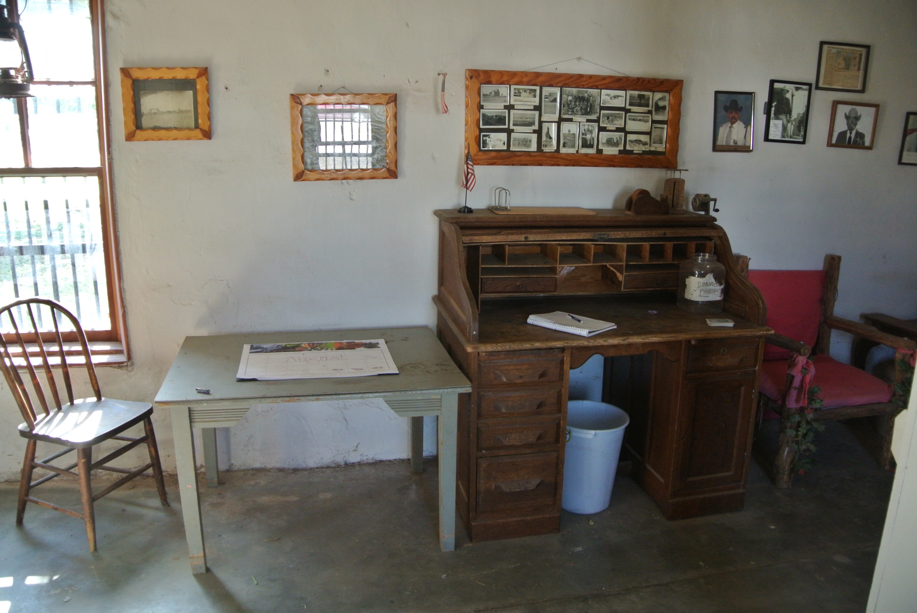
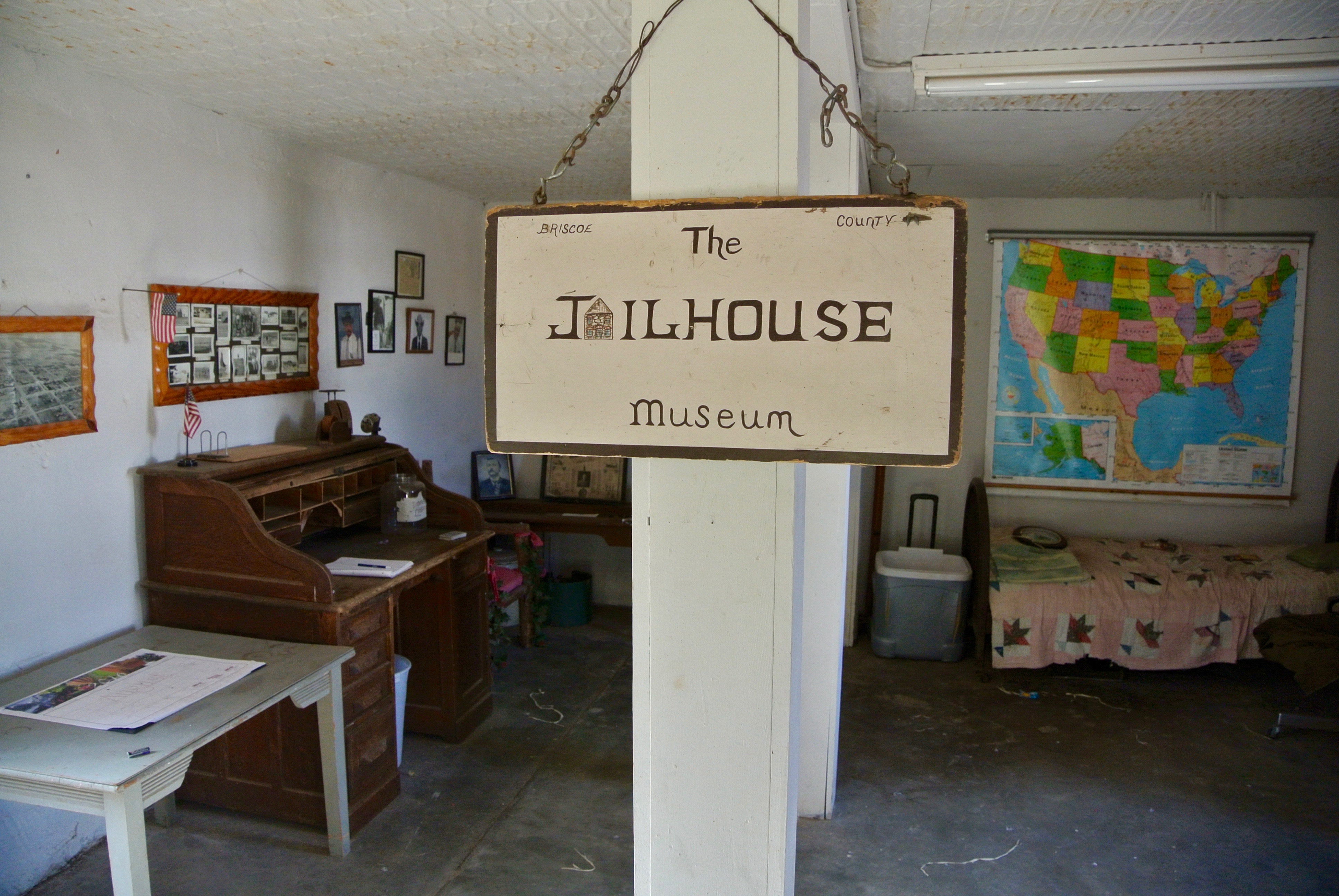 Today, it functions as something of a museum. The door was open and unlocked when I arrived.
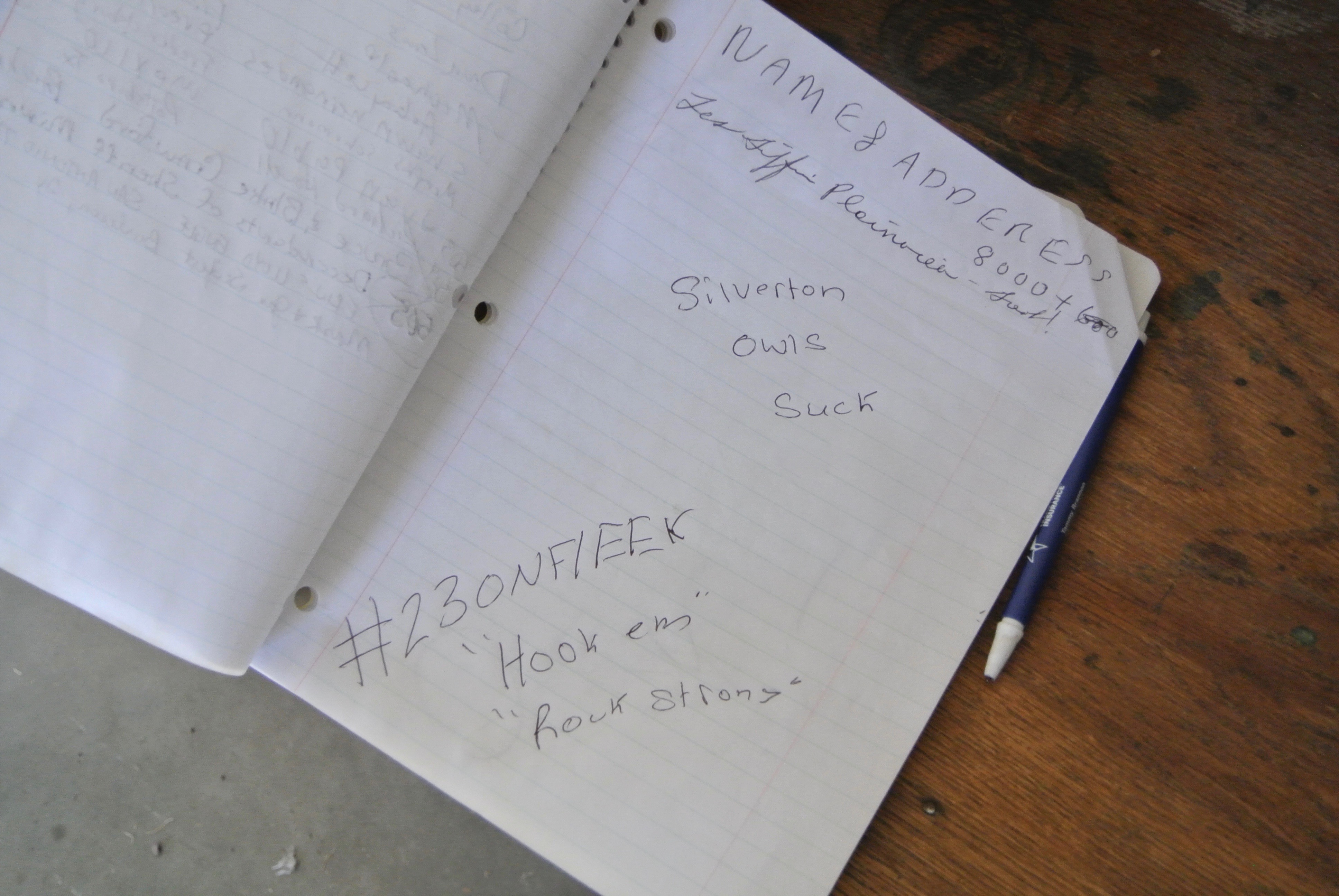
Of course, the visitor sign in has faced the effects of local high school rivalry. Maybe the Tulia Hornets are responsible for this one? Can’t be sure…
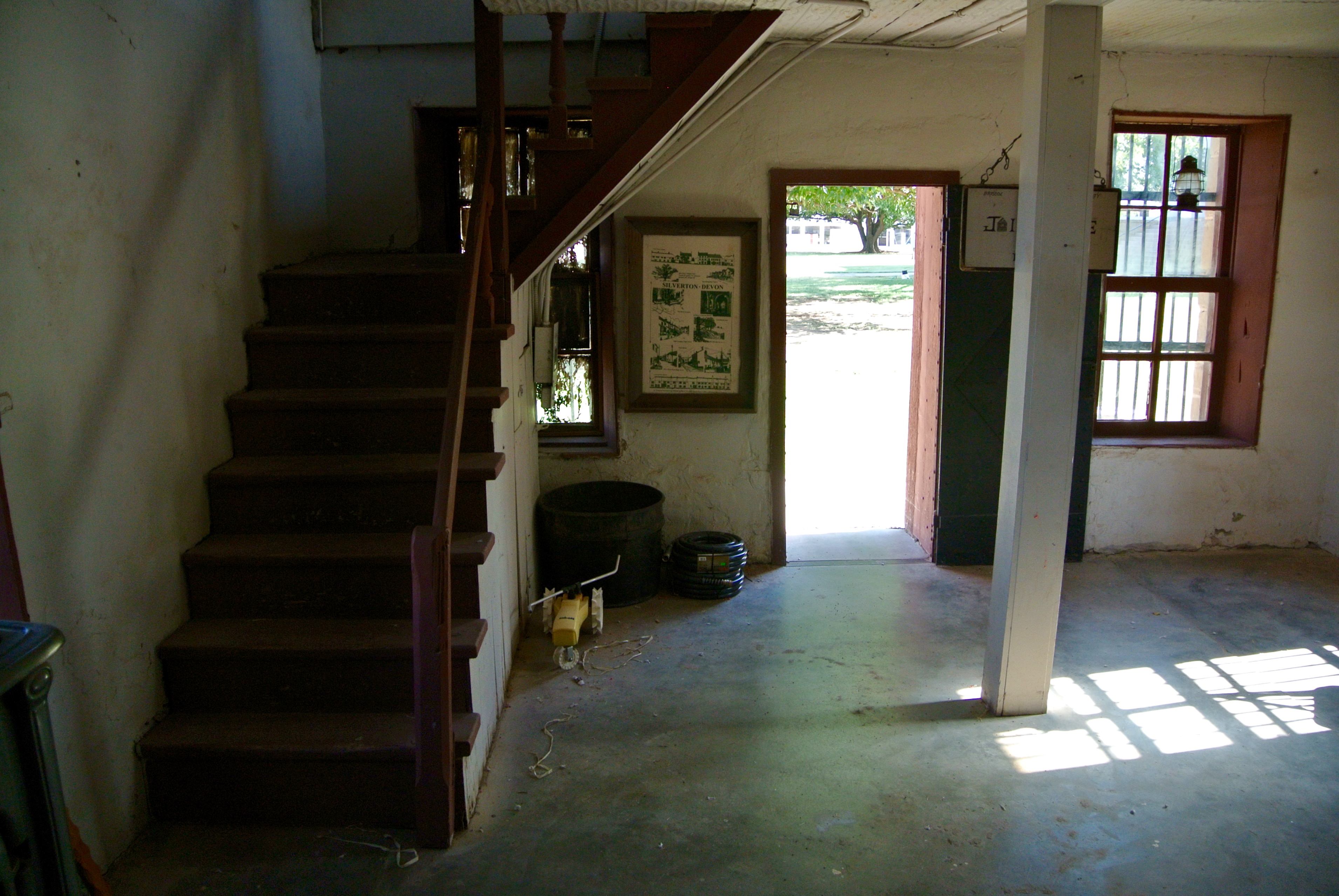
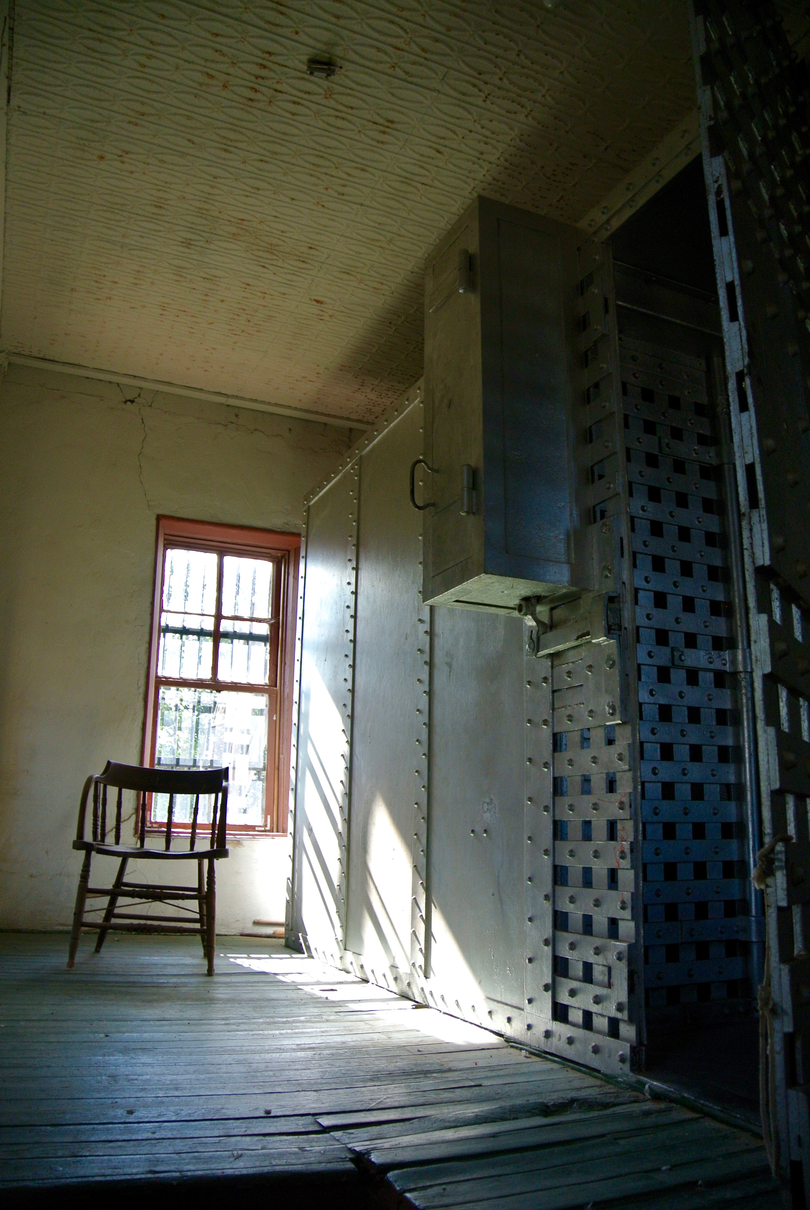
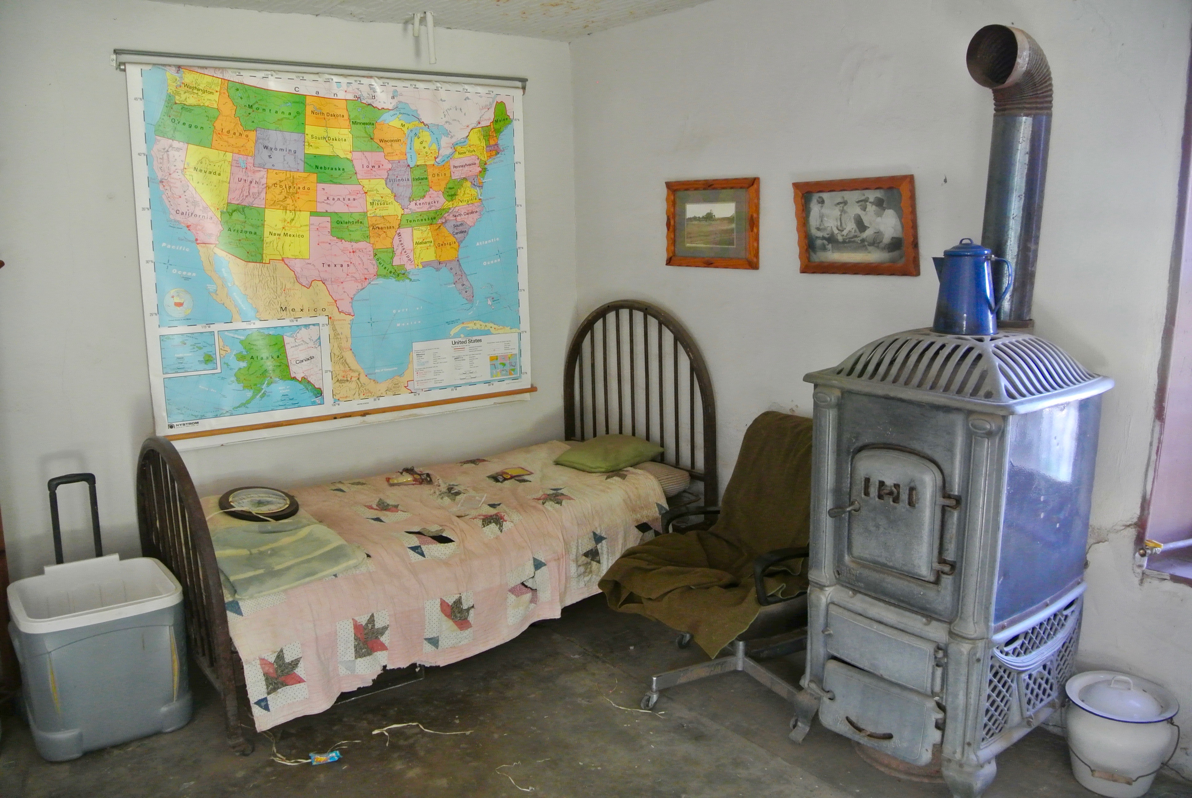
The original cells are upstairs. The sheriff would have lived on the first floor.
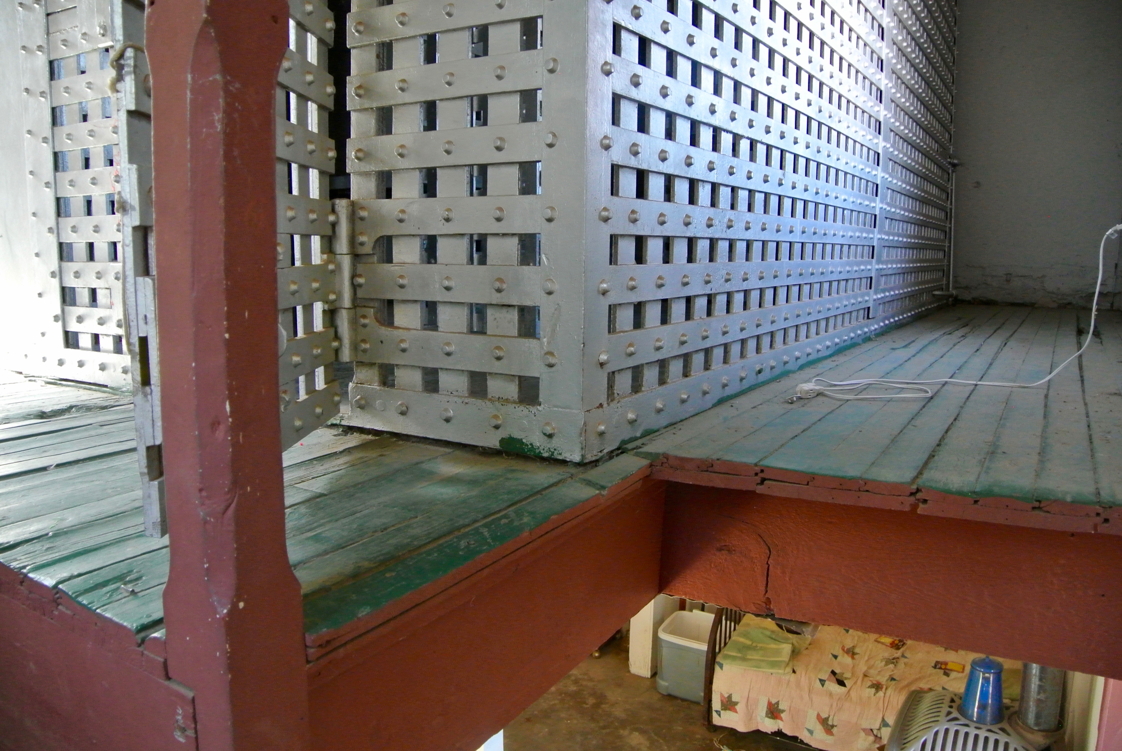
And the walls are thin…
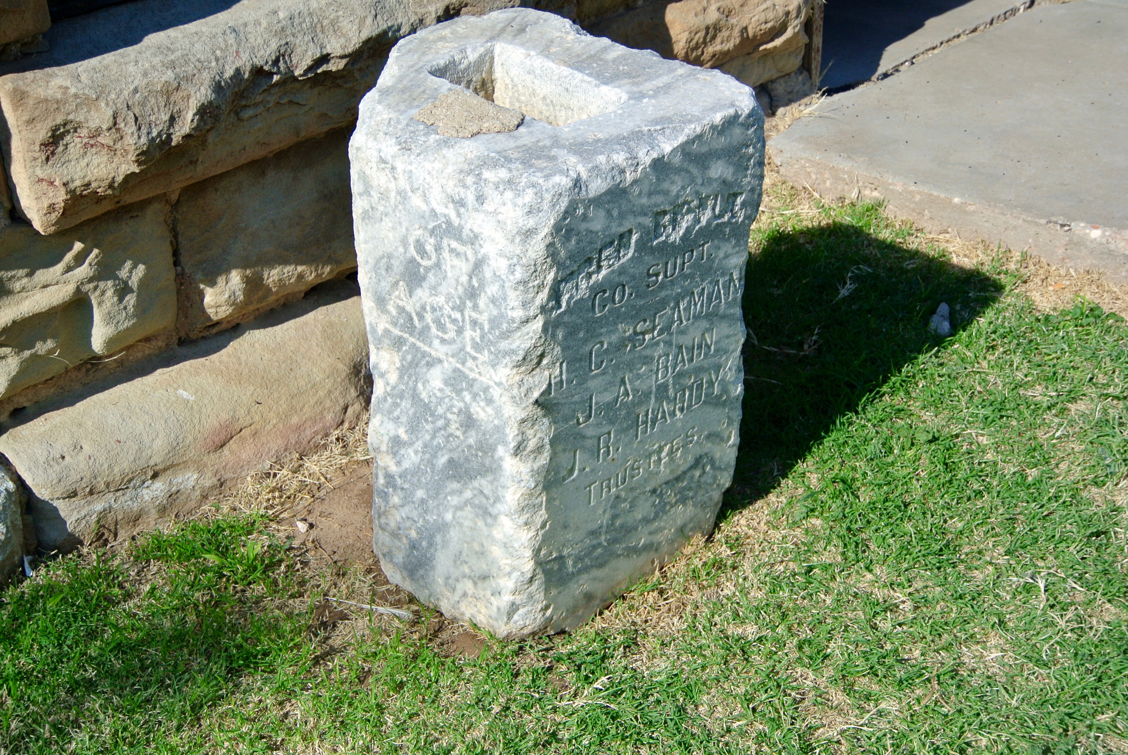
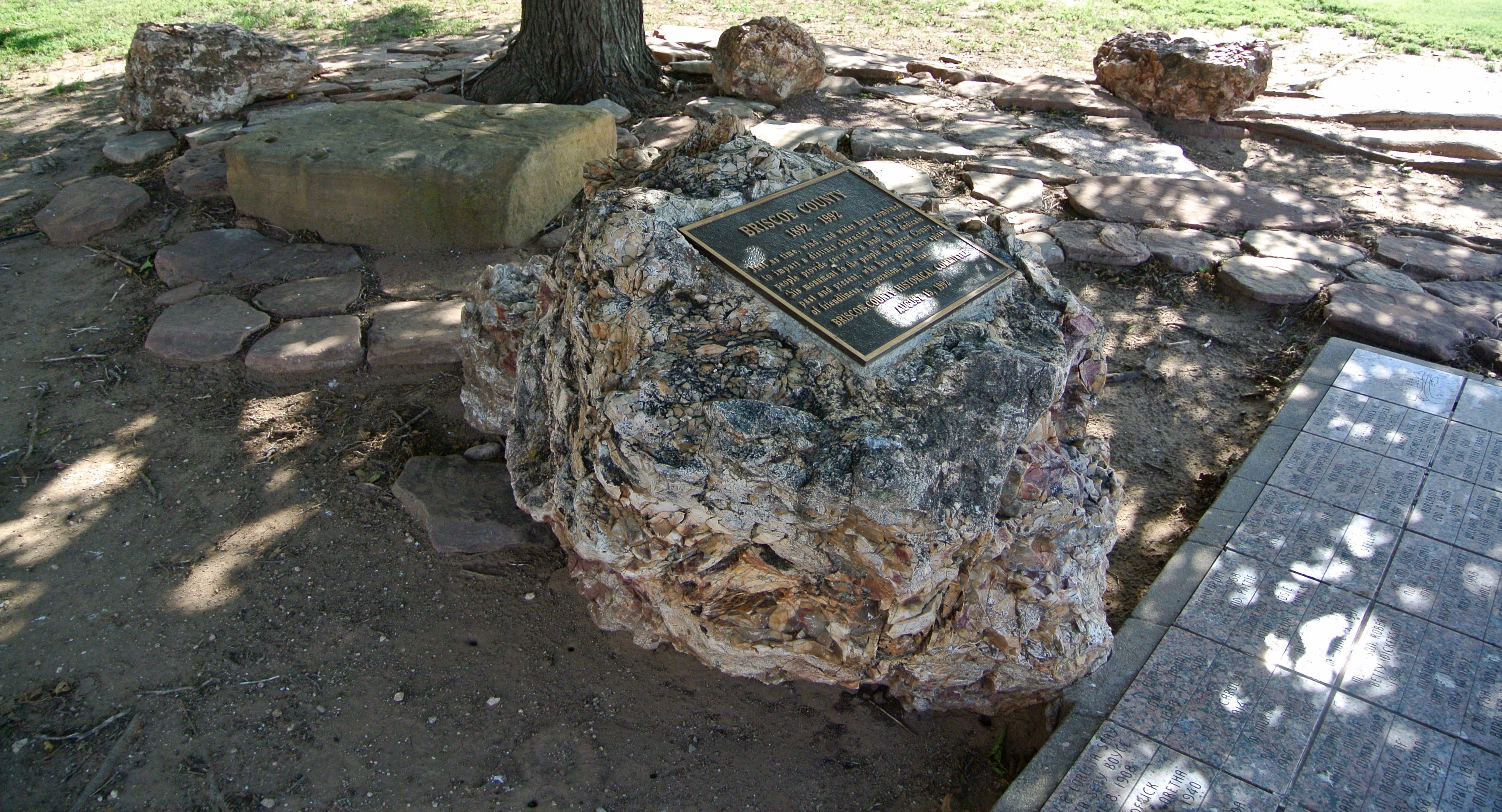
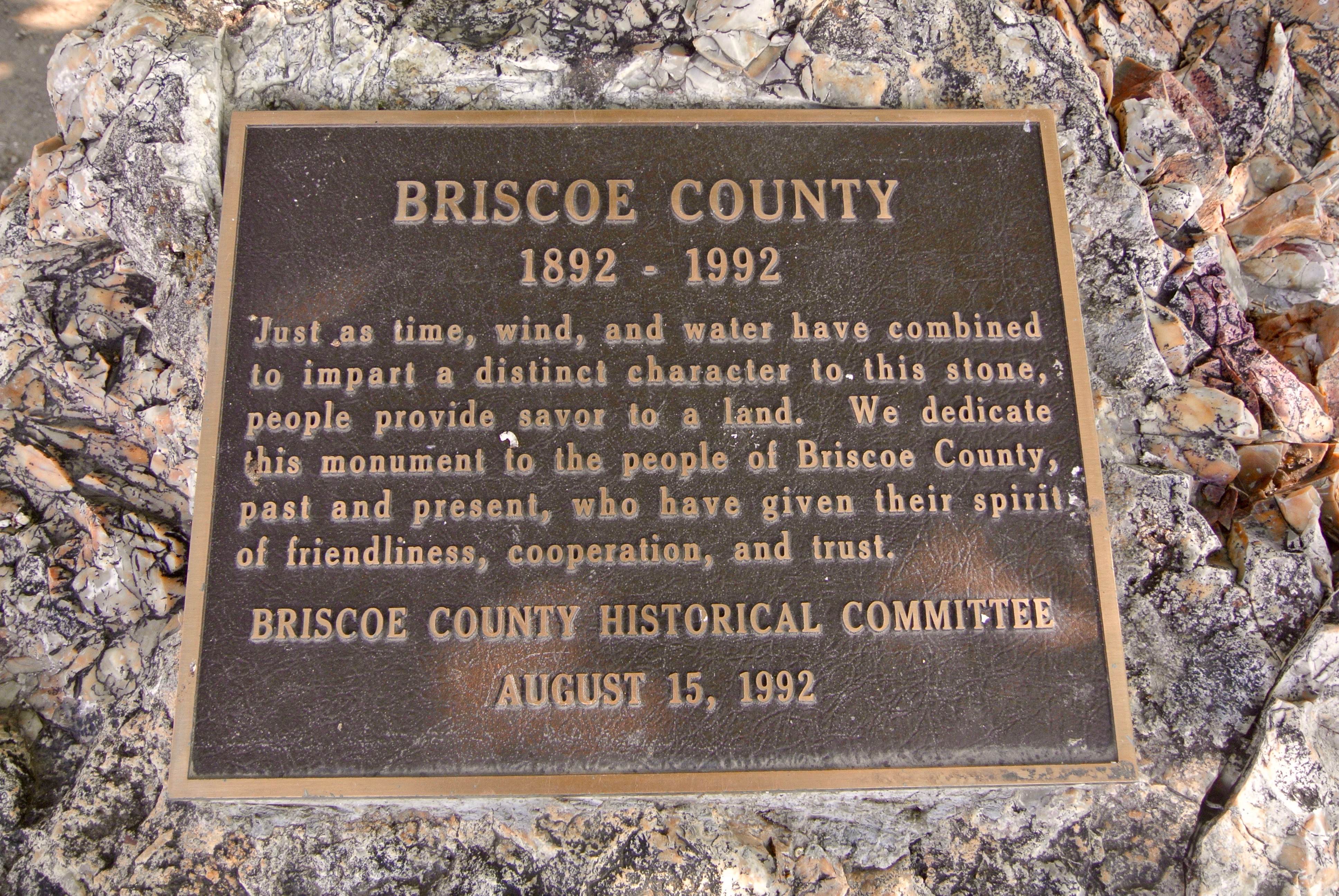
I’m not sure what this cornerstone once belonged to. Maybe it’s the only thing left of the 1892 courthouse?
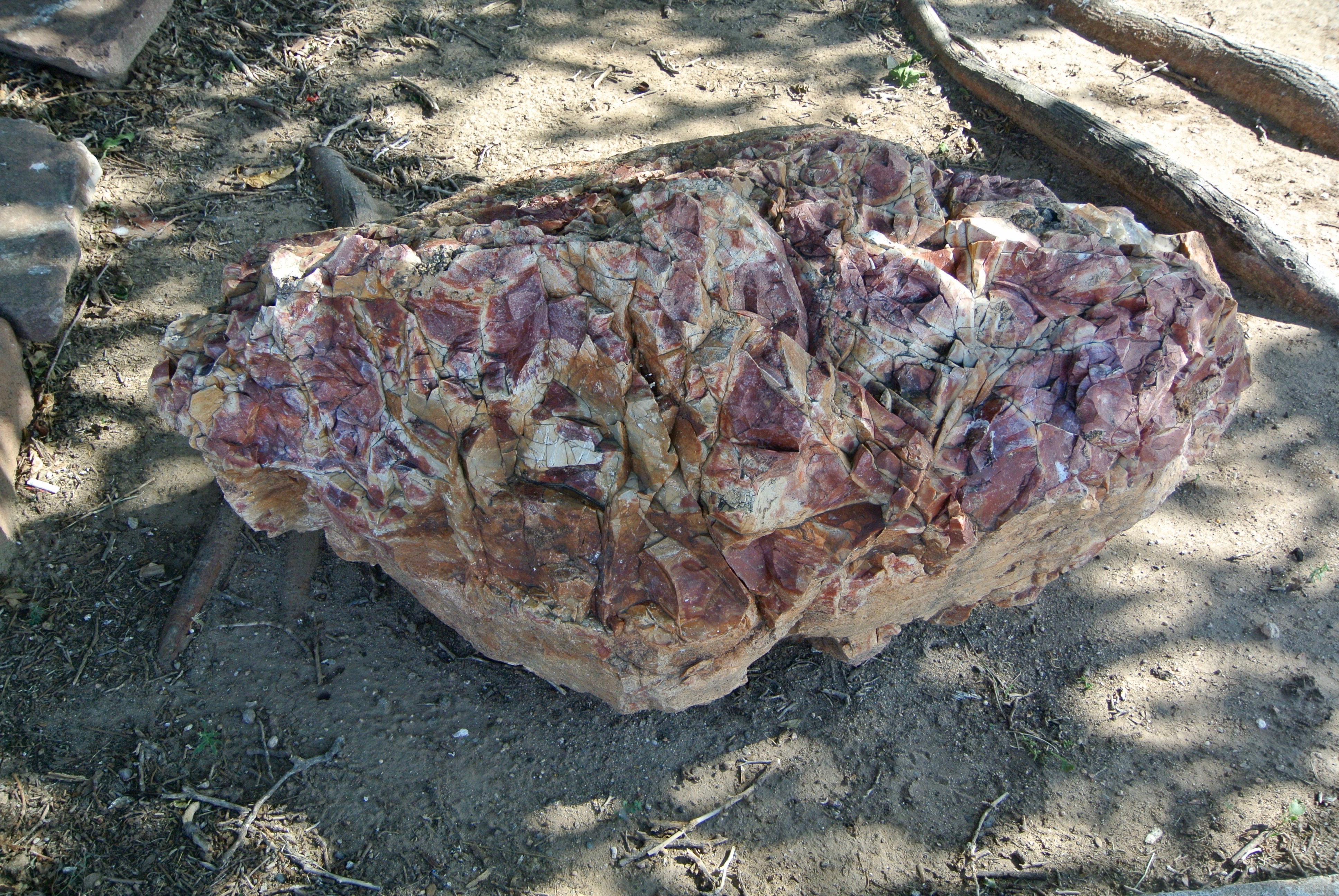
Near the jail is a small collection of large granite rocks.
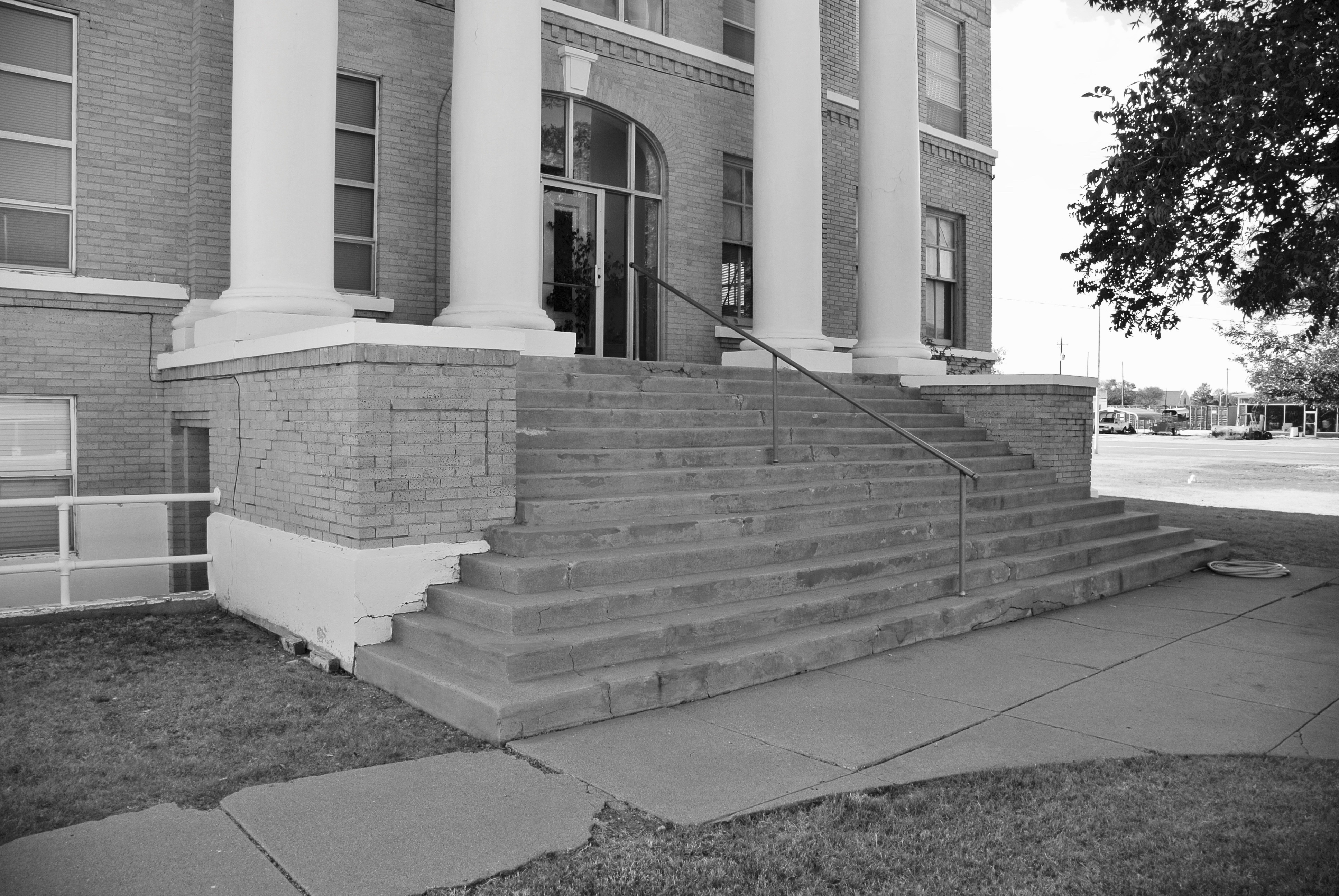
The eastern entrance, on Broadway Street
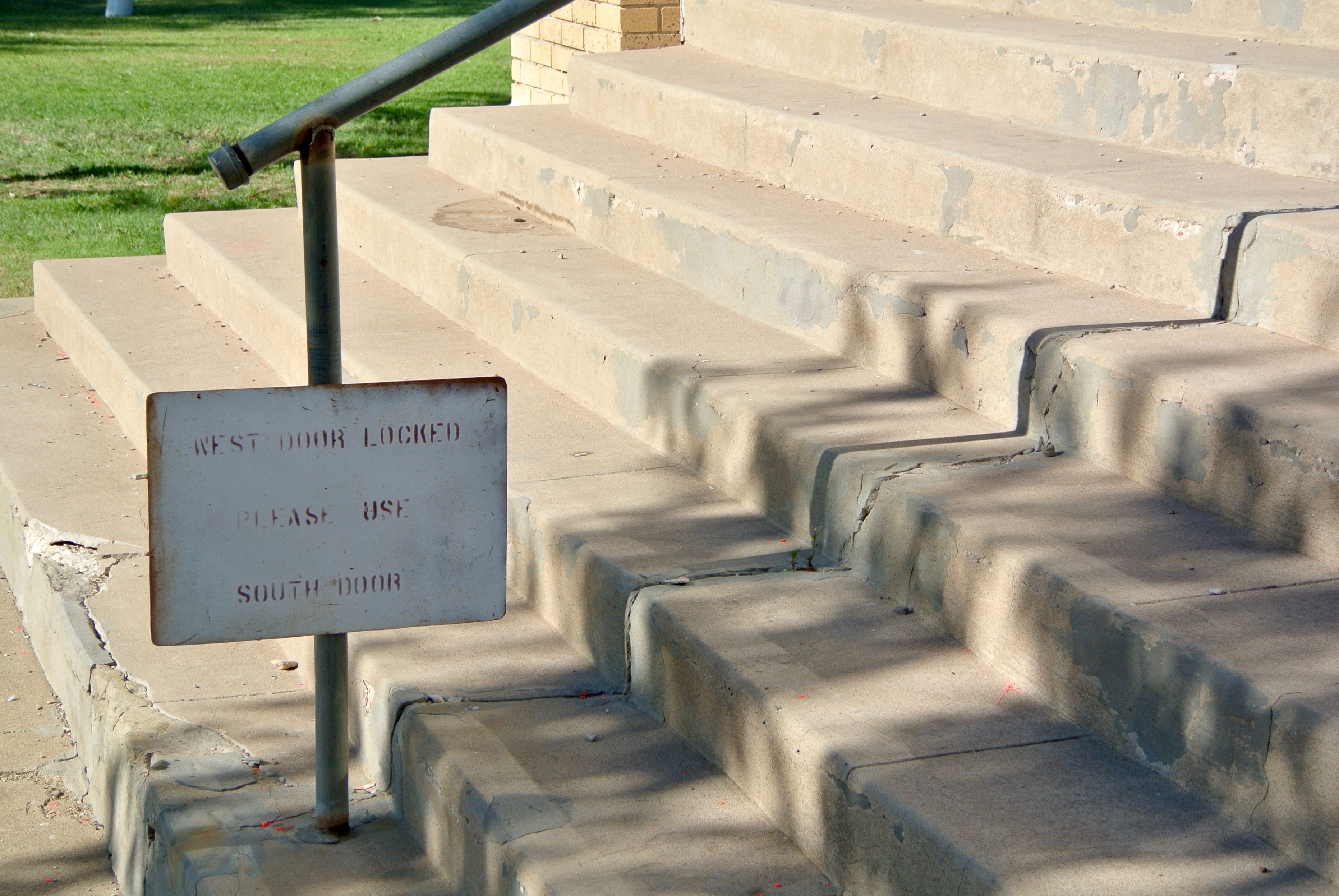
The steps are a little worse for wear.
Broadway Street, from the eastern side of the courthouse
The southeastern corner
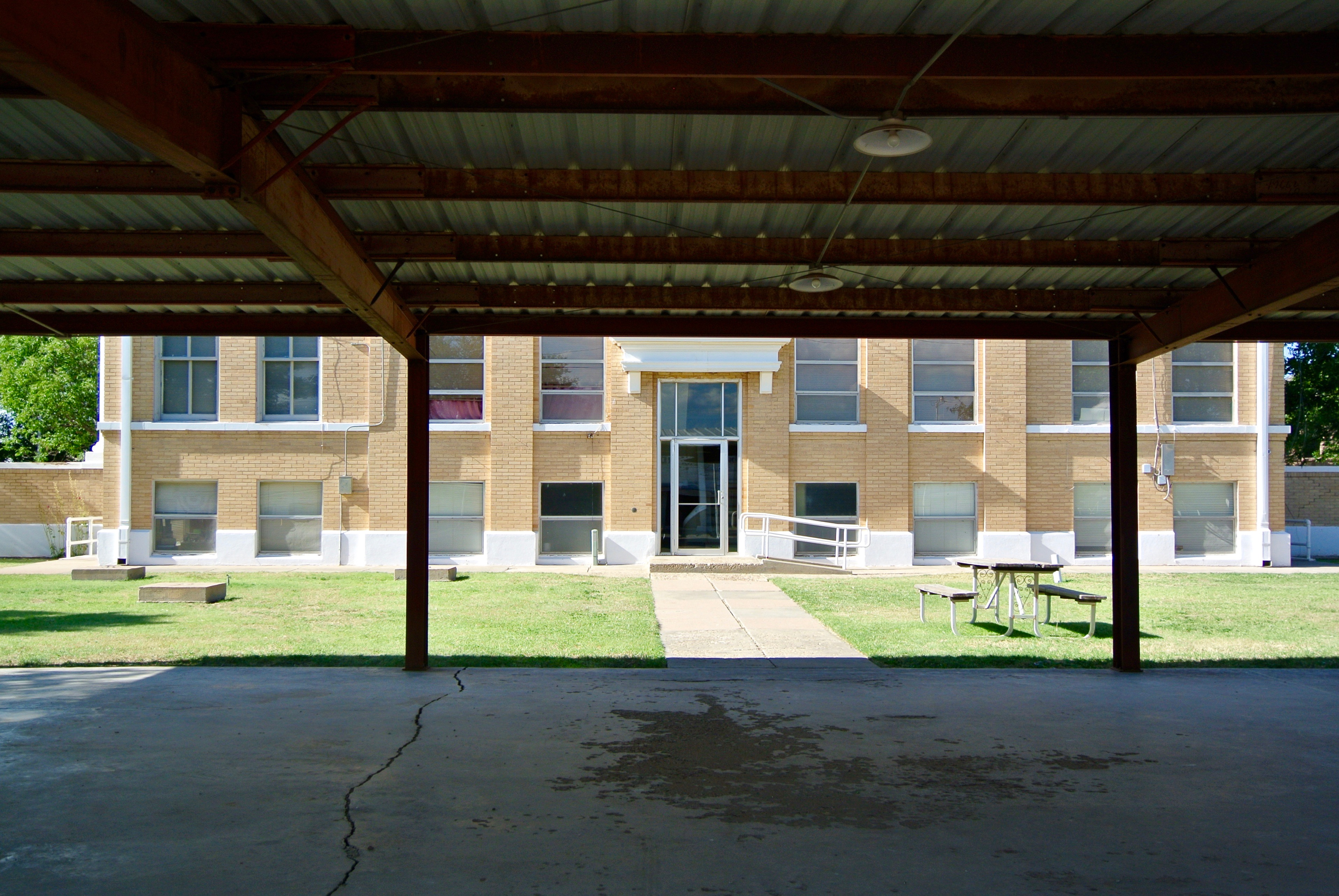
The southern entrance faces a large pavilion and Commerce Street.
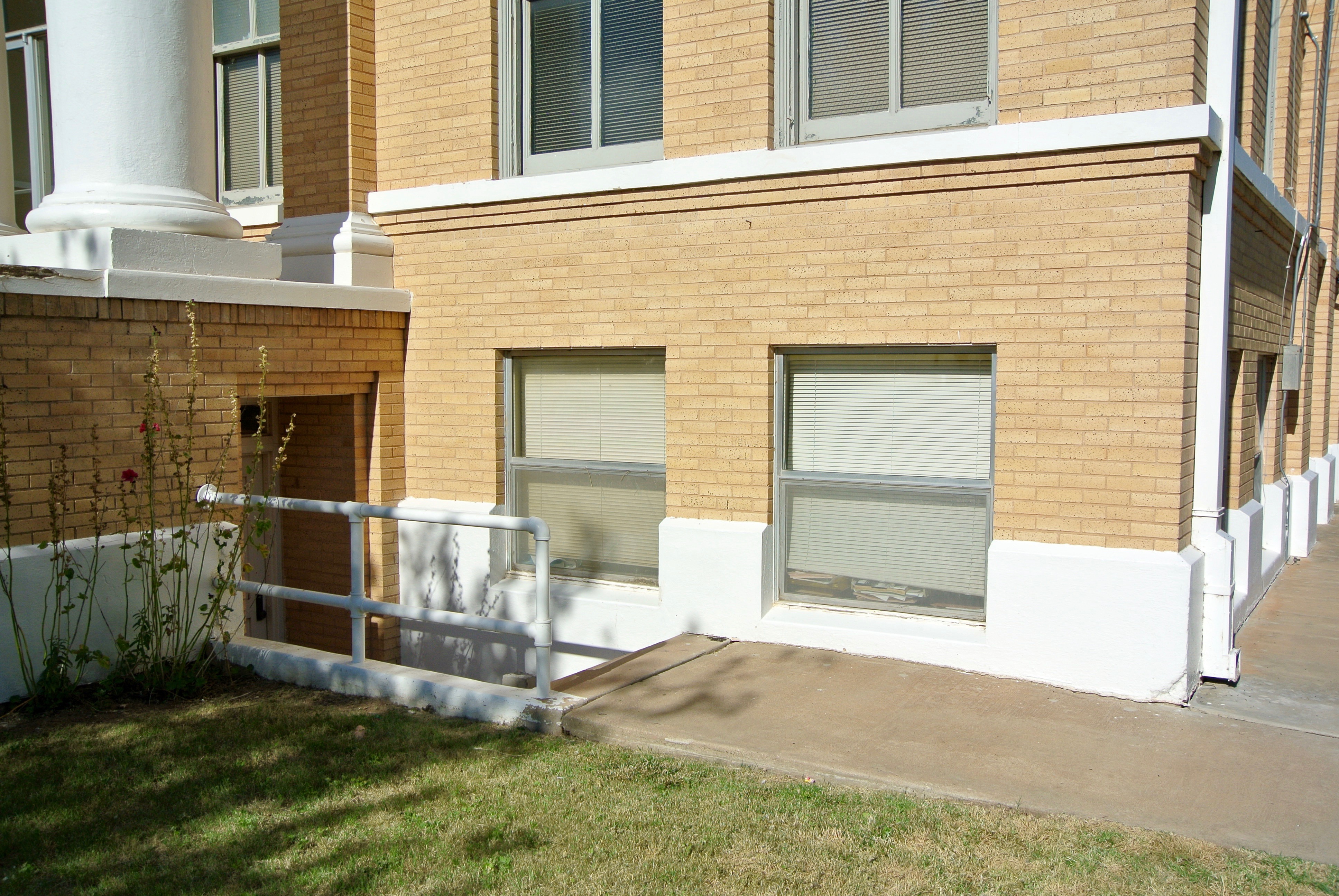
A very small handicap ramp makes this the only handicapped-acessible entrance. By the looks of things, I’d say this was an afterthought. I wonder if there was even a door here prior to this renovation?
The southwestern corner
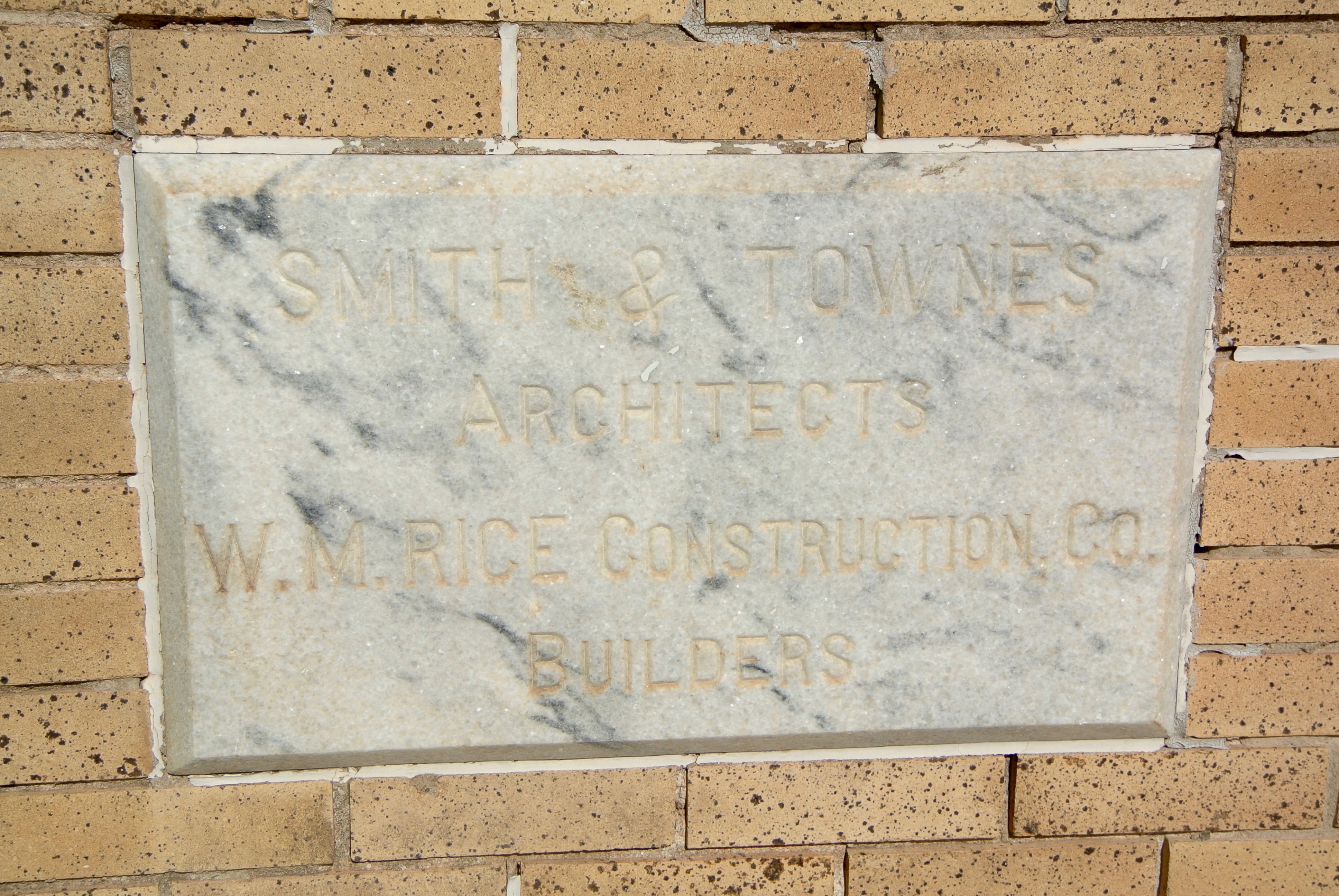 The “corner” stone is found imbedded within the steps of the western entrance.

The view of Main from the western doors


______________________________________________________________________________________________________________
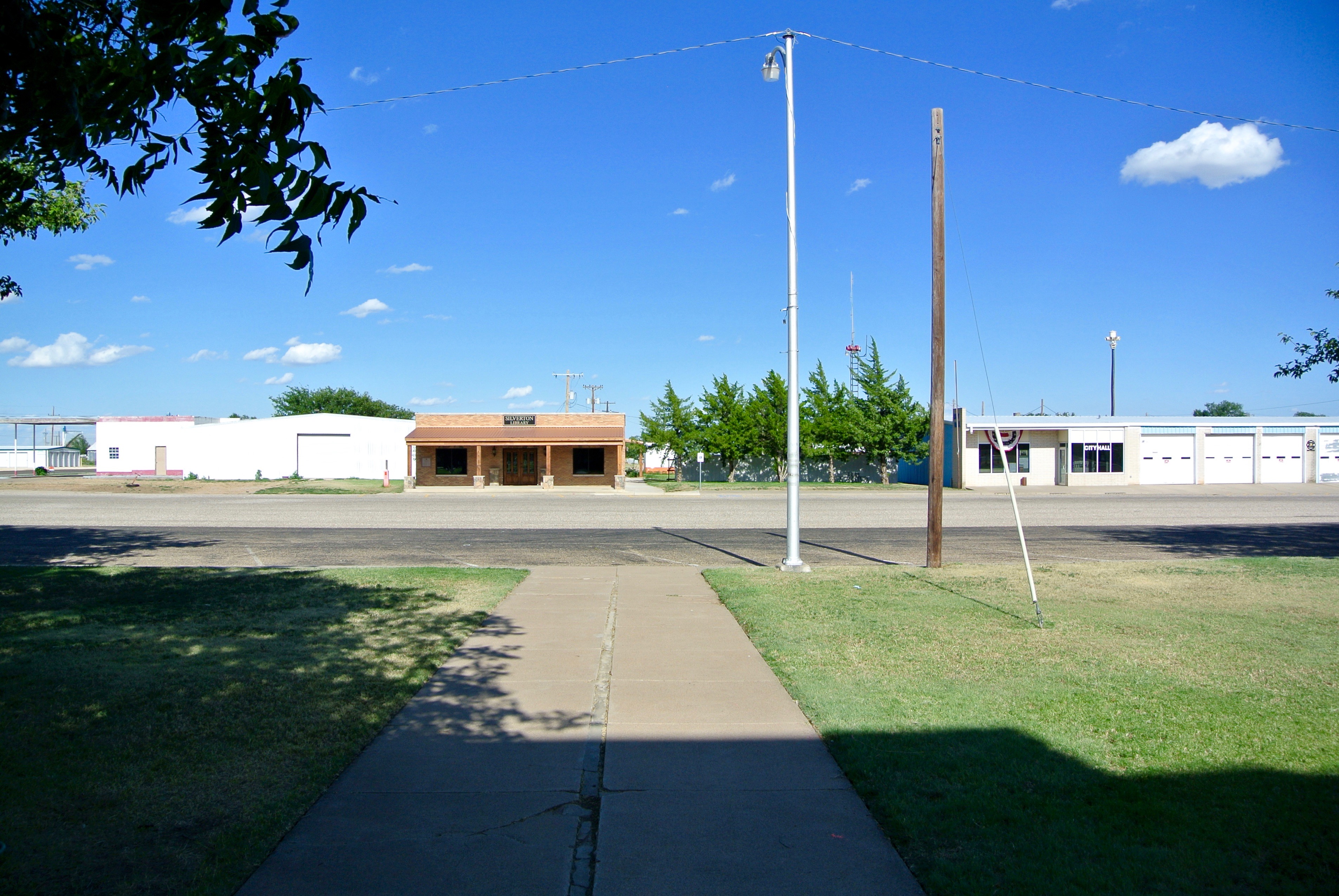
Silverton & Briscoe County

Previous Courthouse: Floyd County
Next Courthouse: Swisher County