#104/254
“The area was named for Confederate generals John C. and William E. Upton. Upton County covers 1,241 square miles of rocky land in the Edwards Plateau vegetation region; elevations range from 2,300 to 3,000 feet above sea level. While northern sections of the county are flat, the southern sections are rolling and hilly and are pierced by numerous small lakes. The county’s exposed limestone surfaces and sandy loam soils are covered with scrub mesquite, greasewood, cacti, catclaw, and grasses.”
“Originally part of the Bexar Territory, the area was part of Tom Green County from 1874 until 1887, when Upton County was established. One of the earliest settlers was Dr. George W. Elliott, who moved into the area in 1881 and drilled the first well; he reached water at thirty feet. The area was part of the open range until the 1890s, when sheepmen crossed the Pecos River to compete with cattlemen for the range.”
“The area began to attract more settlers in the early twentieth century. In 1900 and 1901 open range cattlemen started selling their holdings, and the state encouraged the sale of school and railroad lands for settlement. Rancher Henry M. Halff tried to develop an irrigation area for cotton and vegetable raising and sold town lots at Upland for the price of a notary fee. Upland opened a public school in 1908. By 1910 there were 105 ranches or farms in the area, and the population had increased to 501; the county was organized that year, and Upland became the county seat.”
“In the fall of 1911 the Kansas City, Mexico and Orient Railway reached the townsite of Rankin, and by January 1912 most of the people l living in Upland had moved to Rankin. The county’s population soon was concentrated at or near Rankin, and after 1913 the town’s school system served the entire county. Rankin became the county seat in 1921.”
“Between 1911 and 1912 some farmers, discouraged by poor soil and droughts, abandoned their efforts to raise crops in the area. Remaining settlers who raised horses, cattle, and sheep did well during the high market price years of World War I, but by 1920 only thirty-one ranches or farms remained, and only 253 people lived there. Events soon demonstrated that the county’s economic future was tied to oil. In 1926 George McCamey’s wildcat brought 700 hopeful people to the area and established a new town in the southwest corner of Upton County named for the oil discoverer.”
“The opening of the Yates oilfield especially helped to develop Upton County’s economy. The Yates field actually lies in Crockett and Pecos counties, but Rankin developed as the supply and oil service center for the rich district and boomed as a result.”
William R. Hunt and John Leffler, “UPTON COUNTY,” Handbook of Texas Online
Like the ghost town of Stiles, the abandoned community of Upland remains but contains very few remnants of its existence. The ruins of the Upland Courthouse are still standing on private property off a county road north of Rankin. I do not yet know if I will be able/attempt the trip to see Upland in the future.
I came to Rankin on August 13, 2013
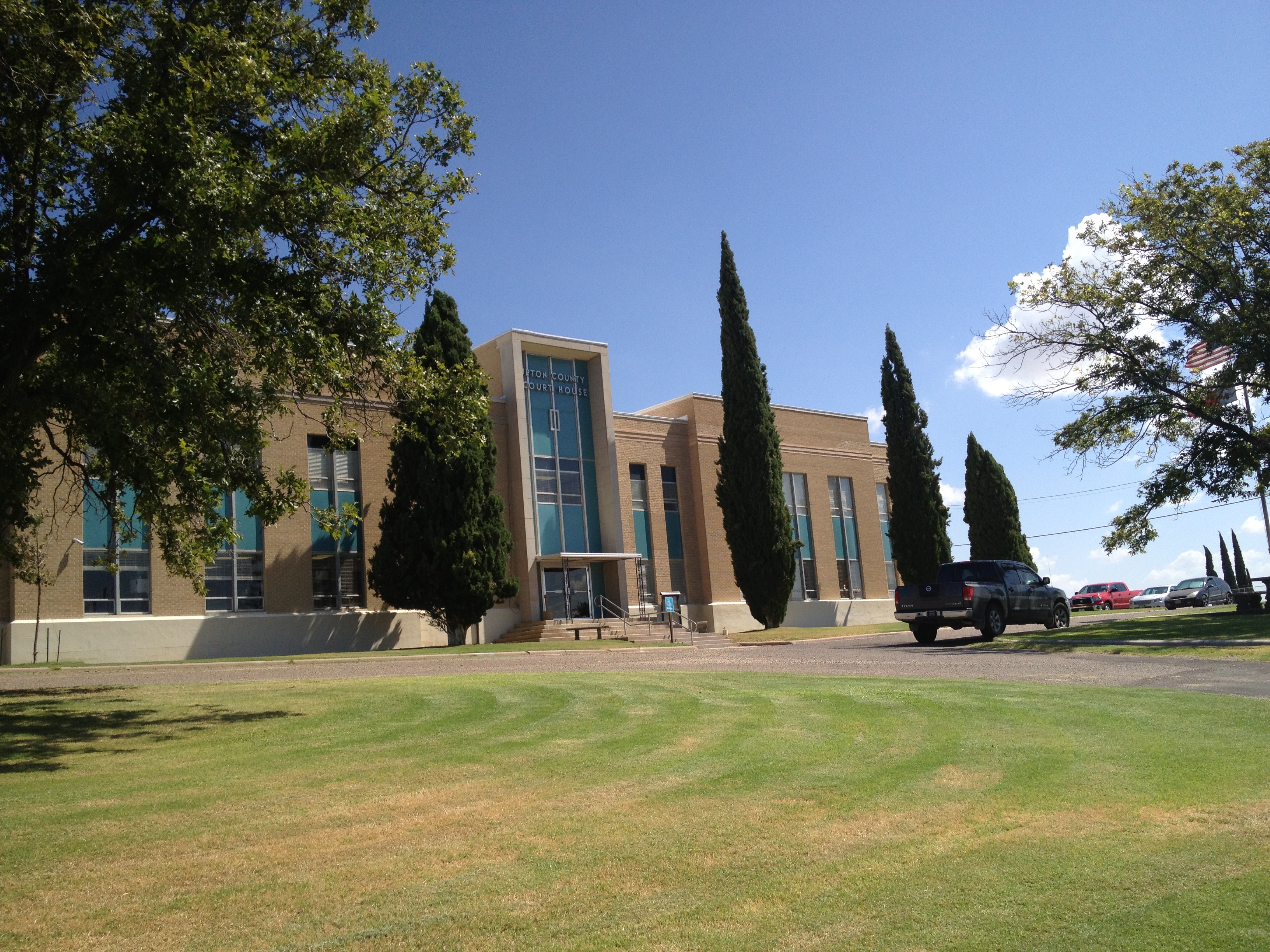
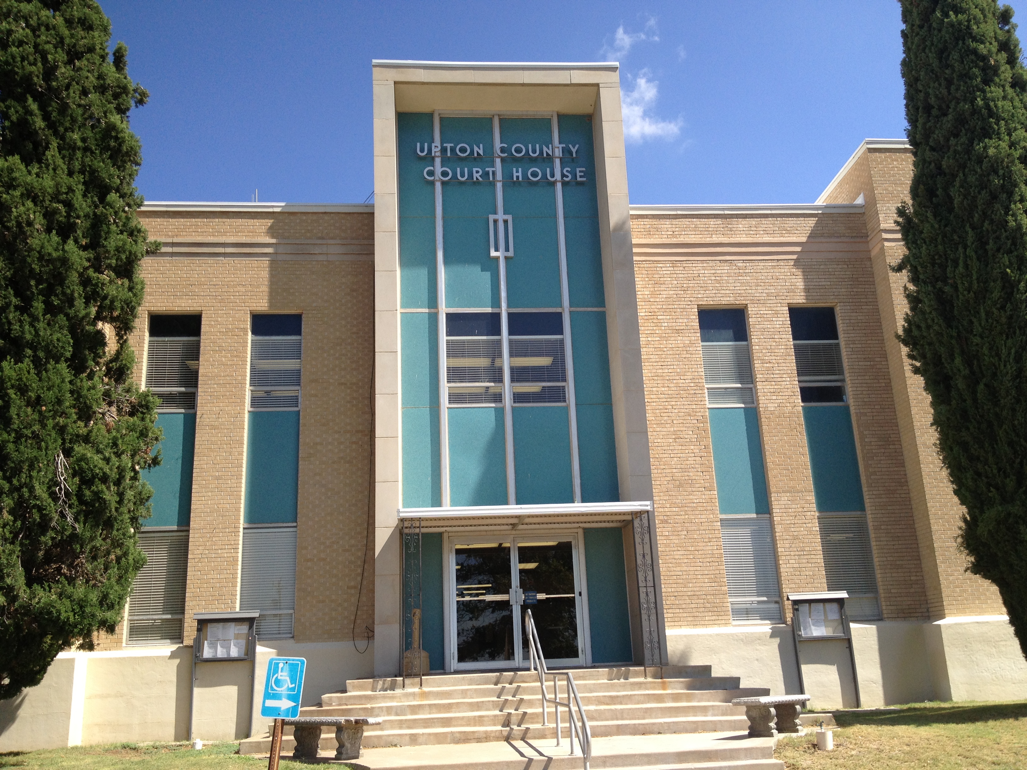
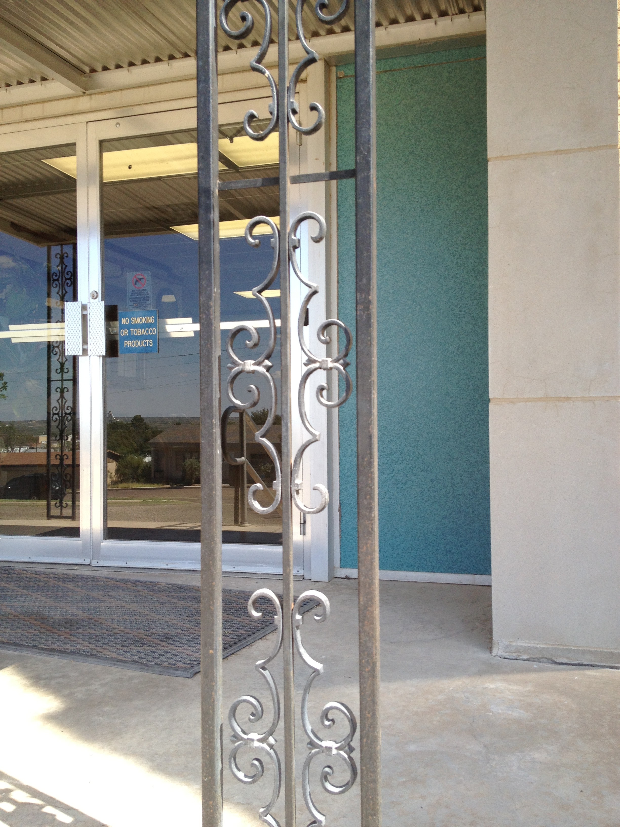
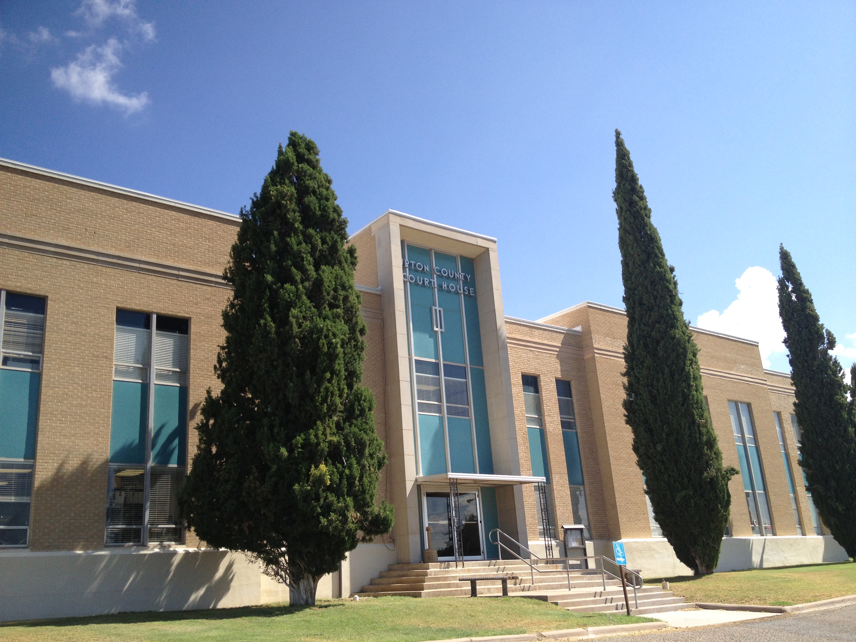
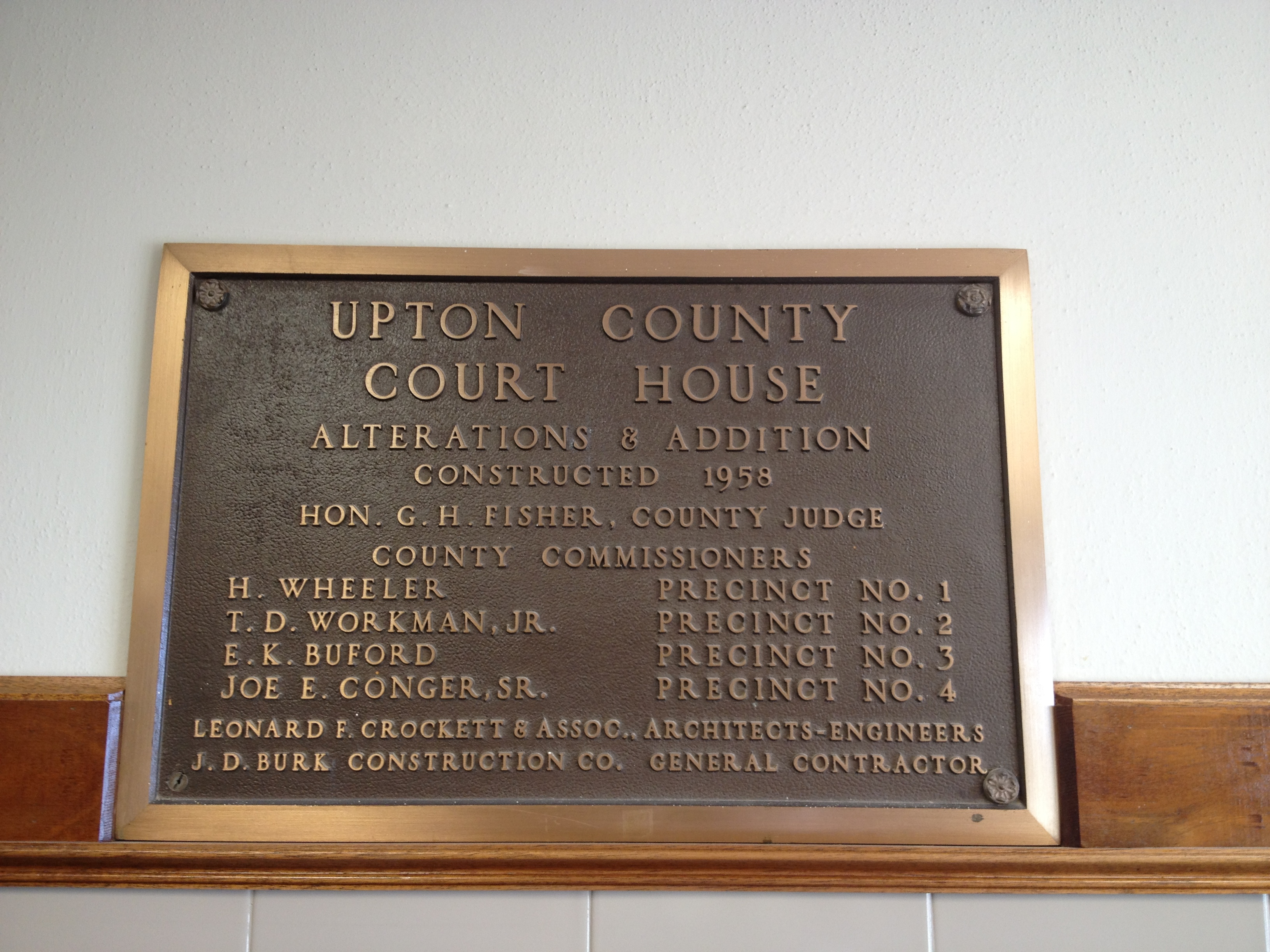
UPTON COUNTY COURTHOUSE
Architect: David S. Castle
Year: 1926
Number for the County: Second
Style: Moderne
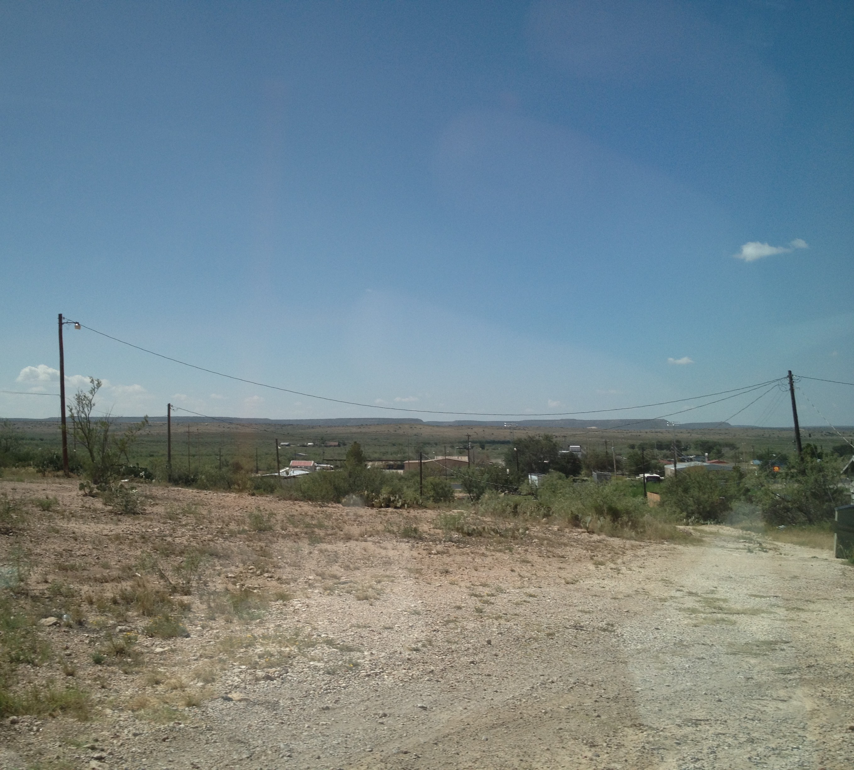
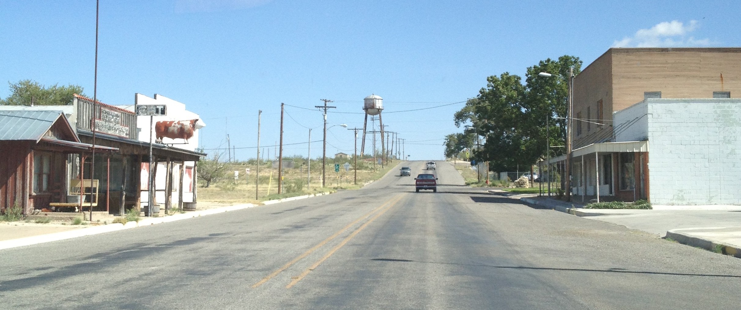
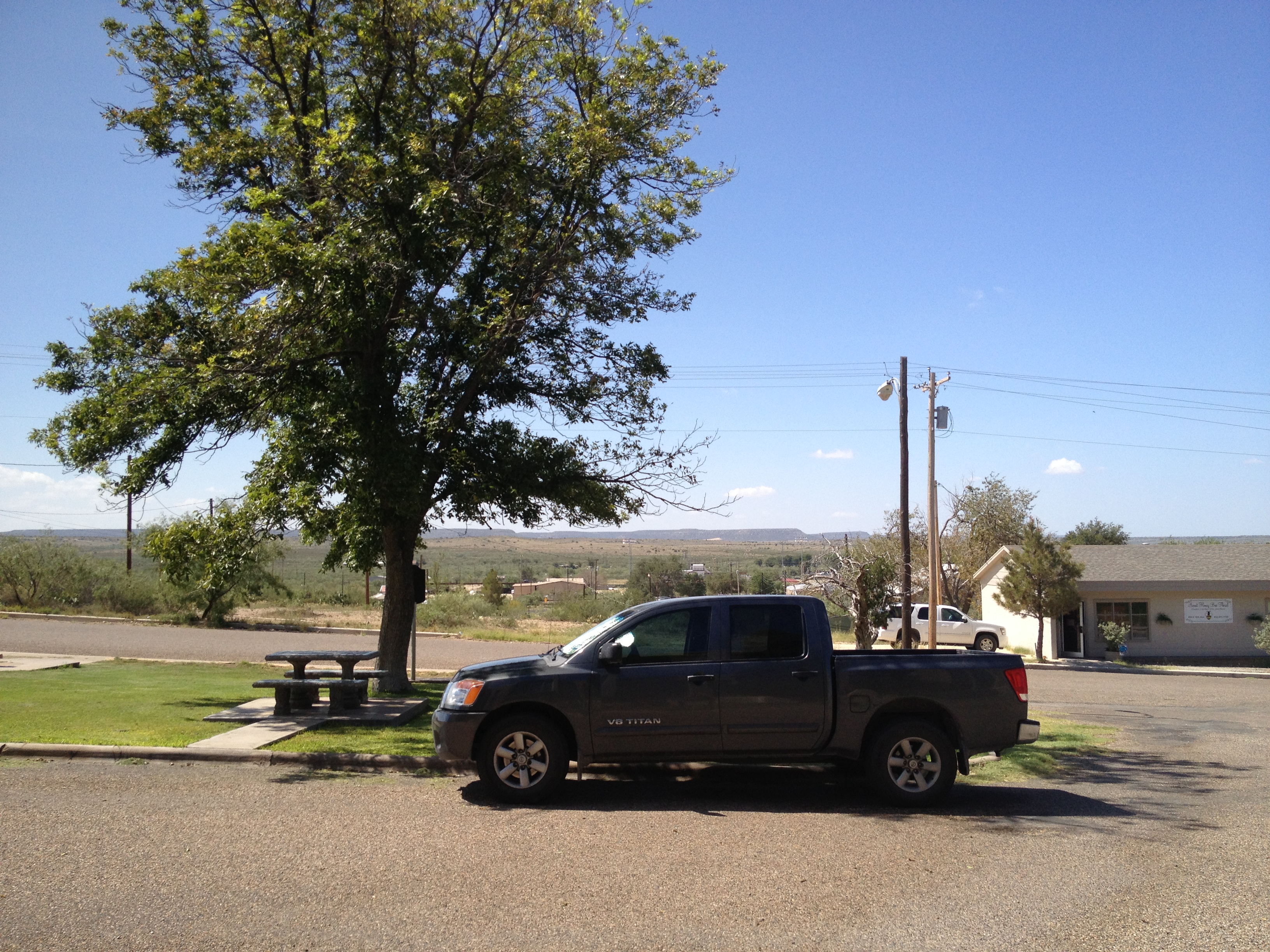
Rugged Upton County landscape as seen from the courthouse hill 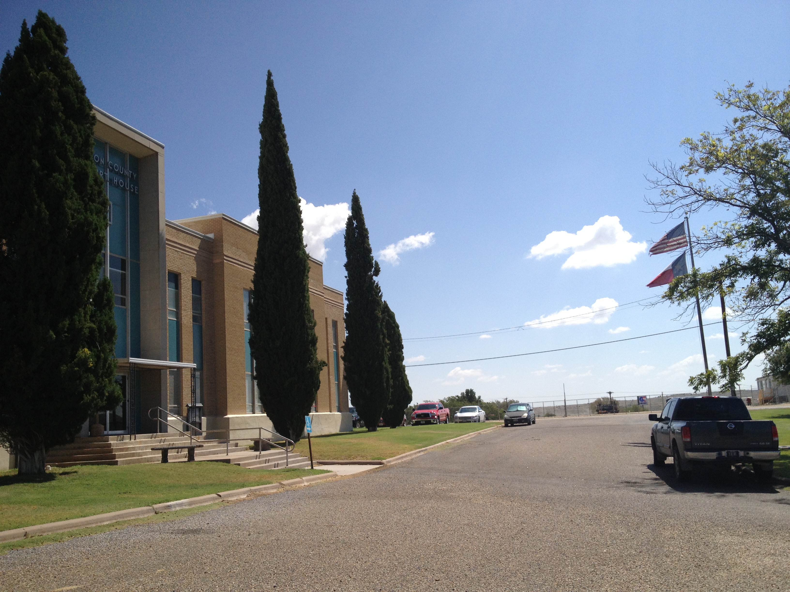
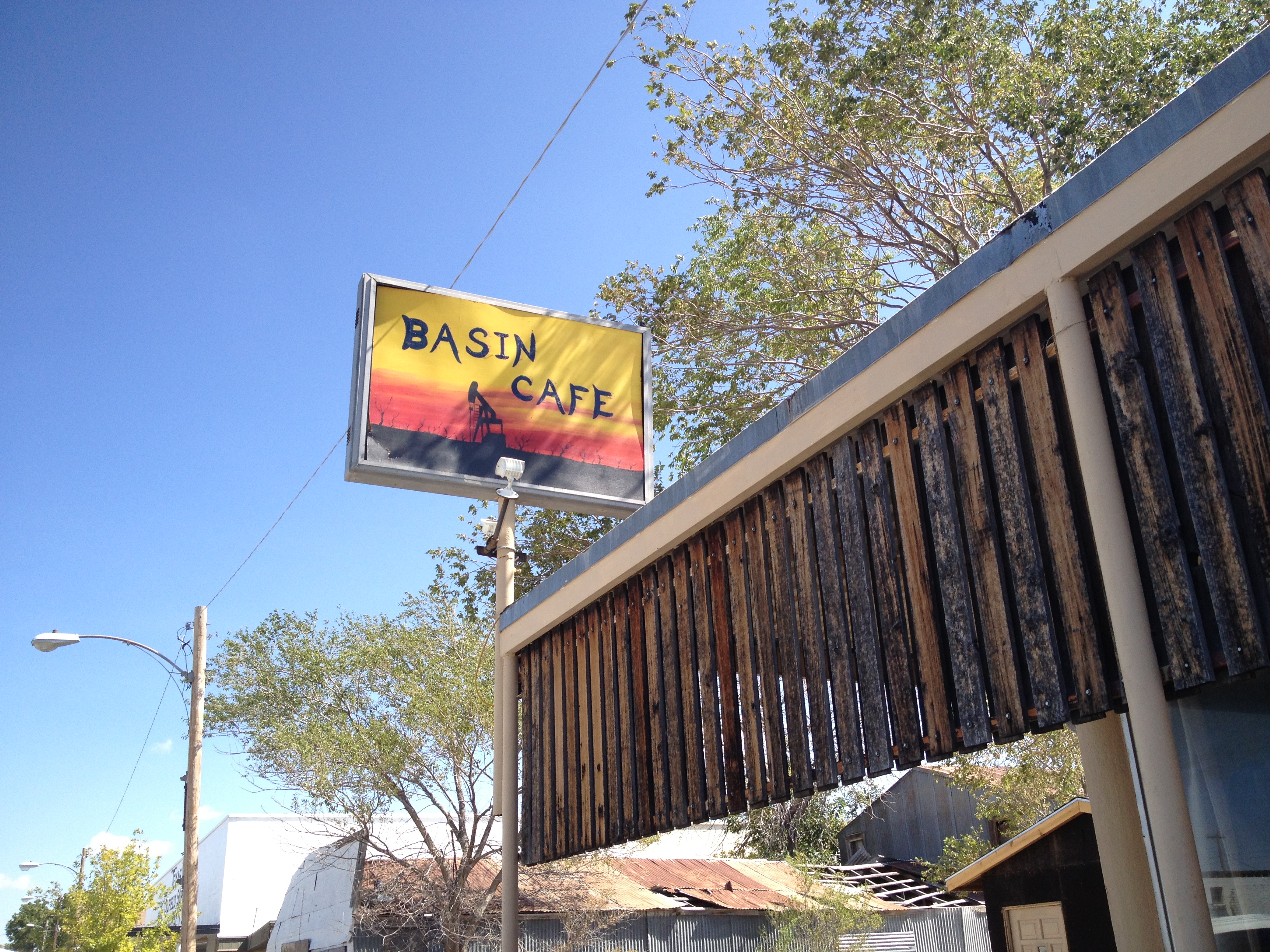
We stopped at Basin Cafe for lunch, assumly named so for Rankin’s location in the oil-rich Permian Basin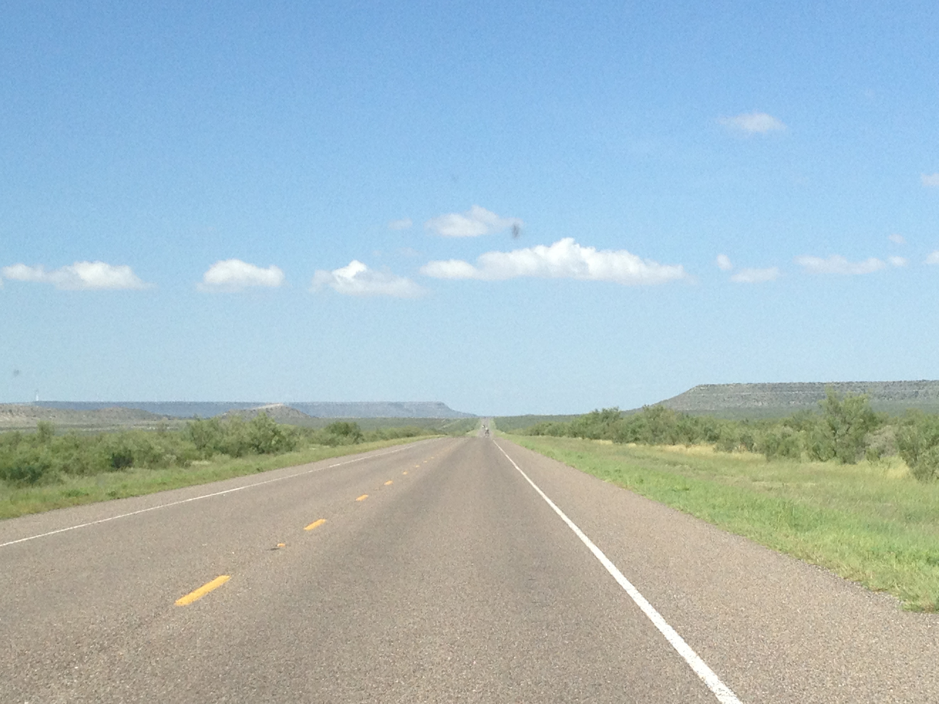
West-bound between Rankin and McCamey, en route to Fort Stockton